
After a disaster, one of the first calls is often to someone who owns a drone.
The request may sound simple: Can you fly over the river? Can you check whether anyone is on that roof? Can you show us what remains of the road? The flight is rarely simple.
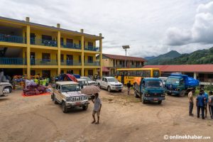
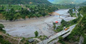
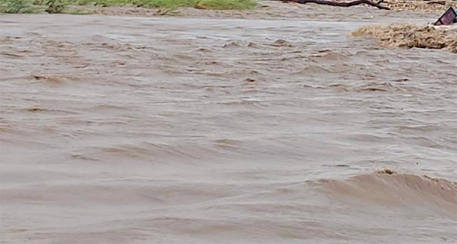
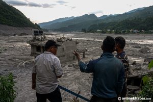
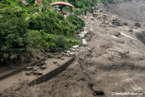
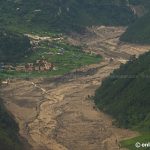
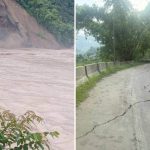
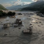
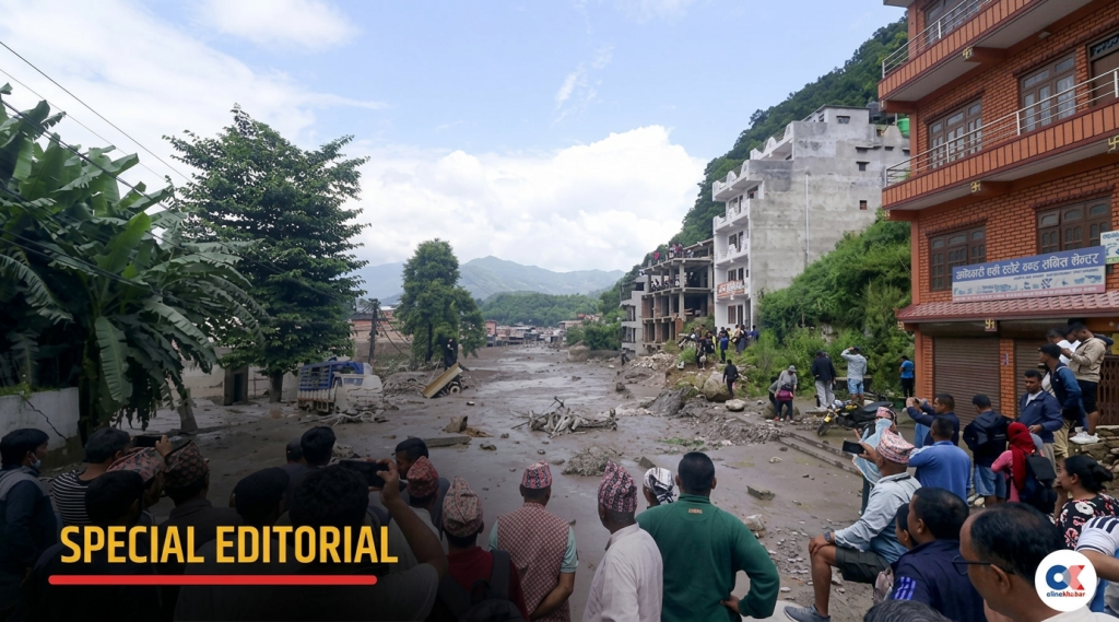
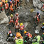
The August 26 flood in northern Nepal destroyed roads, bridges and communication links across already difficult terrain. The US Geological Survey says a glacial collapse probably triggered the flood and debris flow. The IFRC estimated that about 93,000 people may have been affected, while access problems continued to slow assessments.
I followed the response as a filmmaker and drone pilot, not as a member of the rescue operation. That distinction matters. I know how to fly in Nepal and how quickly mountain weather, altitude and signal loss can change a plan. I also know that experience on a film set does not qualify a person to run a search-and-rescue mission.
This is where our current gap begins. Nepal has aircraft. It has skilled operators. What it does not yet have is a dependable way to get the right pilot and equipment to an emergency on short notice.
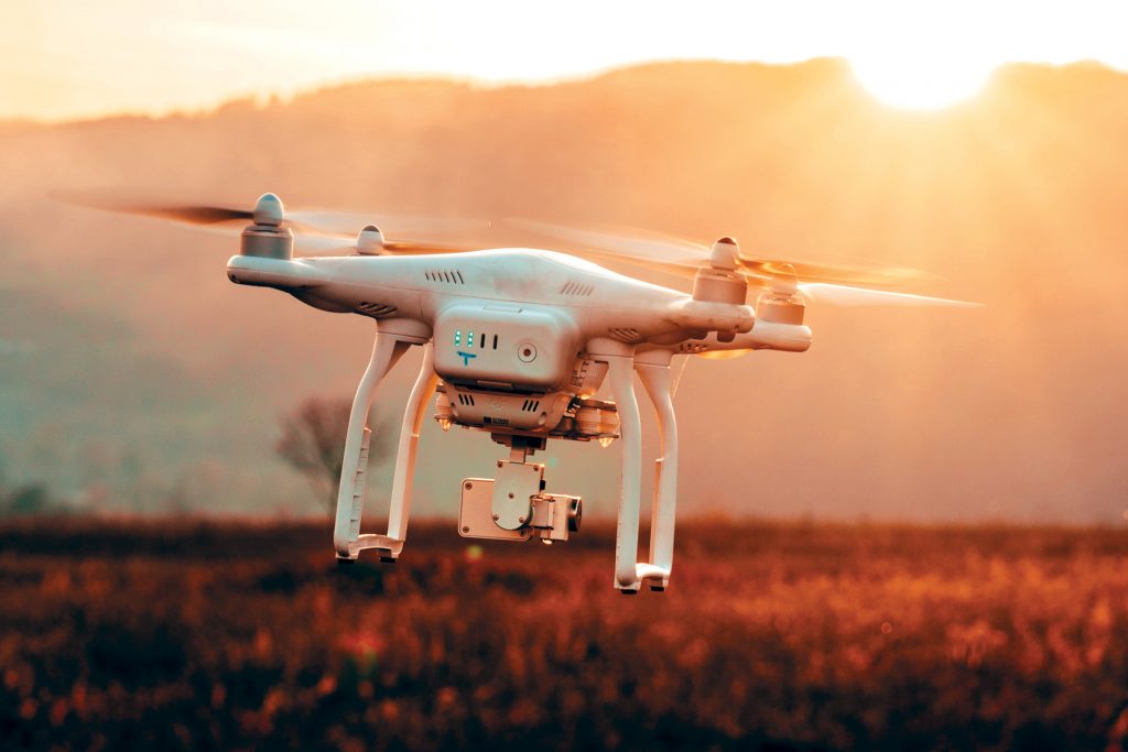
A drone is not one kind of tool
People often talk about drones as though one aircraft can do everything. It cannot.
A high-zoom camera can inspect an opposite riverbank or a damaged building without sending rescuers across unstable ground. Thermal cameras can support night searches by picking up differences in surface temperature. The operator still has to compare that image with the normal camera because heated metal, animals and exposed rock can create misleading signals. Thermal imaging also cannot see through soil, concrete or heavy debris.
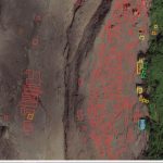
Mapping calls for a different setup. Photogrammetry, LiDAR and RTK systems can record the shape and position of a landslide, damaged road or unstable slope. Those files must then be processed into something an engineer or response commander can use.
Delivery is another job entirely. Heavy-lift aircraft can carry medicine, radios, food and first-aid supplies where the road has vanished. Smaller consumer drones are useful for quick visual checks, but they cannot replace the sensors or payload capacity of enterprise aircraft.
The model name matters less than the match between the aircraft and the assignment. Sending a camera drone for a thermal search wastes time. Sending raw LiDAR data to a command post with nobody ready to process it does not help either.
The pilot is part of a larger chain
In production work, I can postpone a flight, change the shot or return with another battery. Rescue work offers less room.
The pilot may be dealing with poor visibility and limited space to launch. Helicopters may be using the same valley. A ground team may be waiting for coordinates while the aircraft is losing power. The person holding the controller must know the search pattern, the flight boundary and exactly who receives the information.
This is why ordinary flying experience is not enough. Disaster pilots need practice in grid searches, thermal interpretation, airspace coordination and emergency communication. They must be able to report uncertainty without filling the gap with guesswork.
The aircraft also needs a support plan. Batteries must be charged where electricity has failed. Spare equipment has to reach the launch site. Live video and mapping data need a reliable route back to the people directing the operation.
We should not build the team during the emergency
The Nepal Drone Association mobilised members after the Rasuwa flood, including pilots with thermal and LiDAR systems. That willingness deserves recognition. It also shows how much the response still depends on professional networks and volunteers assembling after the damage is done.
Nepal needs a standing roster managed with the disaster-response authorities. It should record where trained pilots are based, which aircraft they can operate, what sensors are available and how quickly a team can move.
That registry would allow a control room to request a capability instead of searching for a familiar name. A thermal mission could go to a nearby thermal team. A mapping request could reach pilots and processors who already work together. Heavy-lift delivery would be assigned according to altitude, range and payload.
None of this works without joint training. Pilots need exercises with the Nepal Army, Nepal Police, Armed Police Force and local responders. Everyone should know who clears the airspace, divides the search area and receives the feed. These decisions are safer when they have already been practised.
Private experience can become public capacity
Much of Nepal’s drone experience sits outside the government. Filmmakers, surveyors, engineers and infrastructure companies own aircraft and use them in difficult places. That equipment should not be commandeered casually, and professional experience should not be mistaken for rescue certification.
There is still a useful role for the private sector. Operators who volunteer for emergency work could complete recognised training, take part in drills and join a deployable reserve. Some could also help teach government teams about flight planning, mapping and equipment maintenance.
The result would be a mixed system: public agencies providing command and accountability, with trained private operators adding capacity when the scale of an emergency demands it.
Nepal will continue to face floods, landslides and broken road access. We cannot predict every location or date. We can decide what happens after the call comes in.
The next response should begin with an assigned team and a tested procedure, not a last-minute search for somebody with a charged battery.