
Kathmandu, August 28
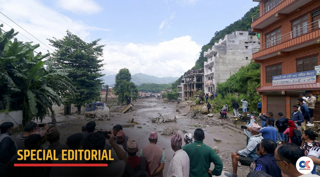
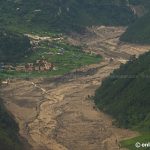
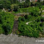
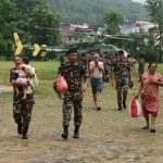
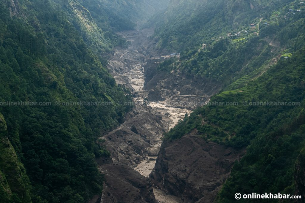
The devastating flood that swept through Rasuwa and along the Trishuli River on Wednesday may have been triggered by a massive ice-rock landslide in the Langtang Lirung rather than a glacial lake outburst, according to water resources and climate change researcher Santosh Nepal.
Nepal, who holds a PhD in the field, said satellite images indicate that a large mass of glacier ice, snow and rock fell from an elevation of around 5,000–5,500 metres on the northern slope of Langtang Lirung and plunged nearly 2,000 metres.
The impact generated enormous energy, which may have rapidly melted snow and ice and contributed to the sudden and massive flow of water into the Lhende Khola, he said.
“Such a huge ice-rock mass falling from that height would generate enormous energy,” Nepal told Onlinekhabar. “Our preliminary assessment is that this energy may have accelerated the melting of the glacier.”
Initial speculation had focused on a glacial lake outburst flood (GLOF), as the Himalayan region contains numerous potentially dangerous glacial lakes. However, satellite imagery obtained after the disaster has pointed researchers towards a different explanation.
According to Nepal, the satellite images show a major collapse on the northern side of Langtang Lirung, with glacier ice and snow apparently falling from around 5,000 metres to nearly 3,000 metres.
The falling mass may also have swept up rocks, debris and other material before reaching the river, he said.
“Once the snow and ice mix with water downstream, they can melt more rapidly. The temperature difference between 5,000 and 3,000 metres also means the lower elevation is roughly 12 degrees Celsius warmer,” Nepal said.
He cautioned, however, that the exact mechanism behind the flood has yet to be established.
“It is too early to conclude exactly what happened,” he said. “We need further satellite data and, when conditions allow, a field investigation.”
Similar to Chamoli, not Melamchi
Nepal said the Rasuwa disaster appears to resemble the 2021 Chamoli disaster in India’s Uttarakhand more closely than Nepal’s 2021 Melamchi flood.
In Chamoli, a large mass of glacier and ice-rock fell from the Nanda Devi mountain range, sweeping snow and debris downhill. The resulting rapid melting and massive flood caused extensive loss of life and damaged hydropower projects.
“The Rasuwa event appears similar to the Chamoli flood in terms of its characteristics and the mechanism involved,” Nepal said.
He said Nepal has experienced other multi-hazard disasters in the past, where heavy rainfall, landslides, river blockages and sudden floods have combined to cause extensive damage.
The current event, however, appears unusual because there was no exceptionally heavy rainfall in the area when the flood began.
Could the river have been temporarily blocked?
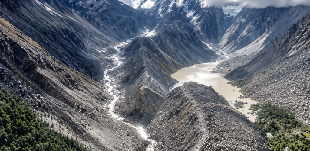
Nepal said one possibility being examined is that the Lhende Khola was temporarily blocked by the falling ice, rock and debris before suddenly releasing a large volume of water.
“If the river was completely blocked, the downstream flow would have stopped,” he said. “But if it was only partially blocked, water could still have continued flowing.”
He noted that some river monitoring and early-warning equipment may itself have been swept away, making it difficult to reconstruct the sequence of events using downstream measurements.
Researchers are continuing to analyse satellite images to determine the size and depth of the landslide, the amount of ice and snow involved and whether there had been recent snowfall in the area.
Small tremor may have followed the ice-rock fall
A small tremor was also recorded in the Langtang area around the time of the disaster, prompting speculation over whether an earthquake triggered the landslide.
Nepal believes the sequence may have been the other way around.
“My understanding is that the tremor was recorded after the large ice-rock mass fell and struck the ground at around 9:38 am,” he said.
He pointed to the Chamoli disaster, where a similar ground shock was recorded after a massive rock and ice fall.
Climate change increasing mountain risks
Nepal said the Rasuwa disaster should also be viewed in the broader context of climate change and increasing risks in Nepal’s mountain regions.
He said rising temperatures are weakening mountain rock through repeated heating, cooling, freezing and thawing.
“Water enters cracks in the rocks, freezes and expands, and this can create further cracks,” he said.
According to Santosh Nepal, Nepal’s mountainous terrain, concentrated monsoon rainfall and climate change are combining to create increasingly complex hazards.
“Climate change has made these risks greater,” he said. “We are now seeing events that our ancestors never witnessed or experienced.”
He said the country must prepare for “cascading hazards” in which one event triggers another—for example, an ice or rock fall leading to a river blockage, followed by a sudden flood and extensive downstream destruction.
Existing early-warning systems may not be enough
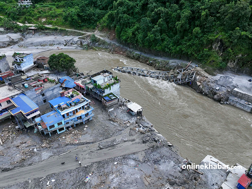
Santosh Nepal said Nepal’s existing early-warning systems are largely designed to monitor river levels and communicate flood risks to downstream communities.
But recent disasters, including the Melamchi and Rasuwa floods, have shown that conventional systems may not be sufficient for cascading hazards.
“Early-warning systems need to be upgraded,” he said, calling for greater use of remote sensing and artificial intelligence.
He also stressed the importance of real-time information sharing between Nepal and China, particularly because disasters originating in the upper reaches of rivers can quickly affect downstream areas in Nepal.
“Monitoring systems should be established in the upper reaches so that information can reach downstream areas in real time,” he said.
Nepal also called for a rethink of how infrastructure is designed in disaster-prone areas.
He said many structures are currently designed based on historical flood estimates, often considering events with return periods of around 40 or 50 years.
“But climate change is bringing larger and more unpredictable disasters,” he said. “We now need a policy-level debate on building infrastructure capable of withstanding these new kinds of risks.”