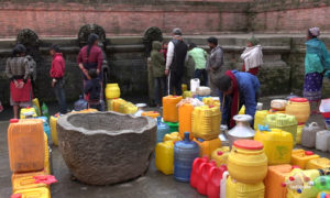
The United Nations Sustainable Development Goals (SDGs) for 2030 has an agenda that has water and sanitation at its core. Among 17 SDGs, the sixth goal is about ensuring availability and sustainable management of water and sanitation for all. This agenda can be further explained as drinking potable water is one of the fundamental human necessities. But, a huge section of the Nepali population is living without access to protected drinking water. The Department of Water Supply and Sewerage Management reports 80 per cent of the population is drinking water that is hard to say safe.
The shortage of safe and clean drinking water is more acute in the Terai region. However, there are many solutions. The country can also use a space technology approach to solve the problem.
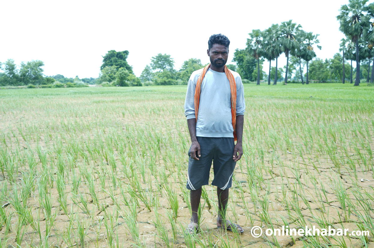
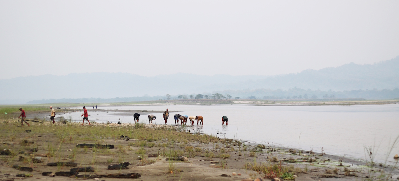
The Terai region consists of 20 districts, in which about 47 per cent (11 million) of the total Nepali population lives. Around 90 per cent of the people living in the Terai region depend on groundwater as their primary source of potable water. This dependency is critical due to two reasons. The first one is the shortage of water in summer days and the second is the ratio of arsenic the water has.
Let’s discuss the first factor, of water shortage, here. Tube wells are the main source of groundwater in the region. But, the capacity of tube wells is decreasing in recent years. The region lies south of the Siwalik Hills and gets separated from Churia formations by the Himalayan frontal thrust. Natural resources in the Churia region have been excessively exploited recently. The region that used to serve as a source of watersheds in the Terai is being eroded. Nowadays, the flow of a permeable mixture of gravel, boulders, and sand is making direction towards the Terai. This phenomenon causes a sinking water table in the region. It is, hence, obvious that the deeper the water table is, the groundwater is less available. Experts are claiming all districts of the region will face the same problem very soon although the severity of the problem might vary.
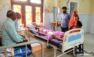
The second problem is also related to Churia exploitation. None of the wells in the Terai districts of Nepal is free from arsenic. Based on sediment-aquifer studies, Churia hills and the higher Himalayas are possible sources of arsenic in the Terai region. Leaching of arsenic occurs from the natural rocks of Churia. This natural action is the main source of groundwater contamination in Nepal. Arsenic is hazardous to human health. The consumption of arsenic for a long time causes health problems such as skin discolouration (melanosis), hardening of the skin (keratosis), and cancer.
Water problems of the Terai region, both in quality and quantity, have a relationship with the Churia region. It is of utmost need to conserve Churia for ensuring that the people of Tarai get safe water sufficiently.
So, how can we apply the space technology approach to solve the existing problems?
In general, space technology includes spacecraft, satellites, and space stations. Various proprietary and FOSS software can be used to extract information about the sedimentation from satellite images of Landsat, MODIS, etc.
They can be used to check the amount of sedimentation in a certain period. This evaluation can make an early estimate of sediment deposits in Terai and mitigate the problems of the declining water tables. Moreover, we can imply the SAWT analysis to calculate the flow rate of sedimentation and arsenic. Besides, satellite data are also used to estimate water volumes retained by small reservoirs. Remote indices sensing such as NDVI, NDWI, etc. are used in the calculation of various water hazard parameters.
The second burning issue of the Terai region is the presence of arsenic in the groundwater. This problem is minimisable using remote sensing, and geographic information systems (GIS). Various thematic maps can be prepared using both of these tools. Moreover, we can use thematic maps to explore the relationship between that particular theme and the distribution of arsenic. These thematic maps provide a piece of information to map the degree of the arsenic-tainted regions. The digital elevation model (DEM) is useful to understand the nature of the distribution of arsenic-contaminated areas. Further, the GIS is implemented for the zonation of arsenic contamination levels, which can be very helpful to the assessment of risk.
Eventually, space technology can be a boon for the water crisis in Terai. These techniques ensure rapid decision making and low cost. But, the application of these types of initiatives should start from the government level for robust progress.
Shah is a civil engineer.