Kathmandu, September 17
The Himalayas are undergoing rapid changes, with the rate of glacier melting increasing by 65 per cent compared with a decade ago, according to a new report.
The report highlights growing risks from glacial lakes, melting snow and unstable mountain slopes. It also points to black carbon as a major contributor to glacier melt. Black carbon originating from South Asia accounts for about one-third of glacier melt, while industrial sources, particularly brick kilns, contribute 32–42 per cent of the human-generated black carbon accumulating in the Himalayan region.
The report was jointly released by the International Centre for Integrated Mountain Development (ICIMOD) and the G B Pant National Institute of Himalayan Environment.
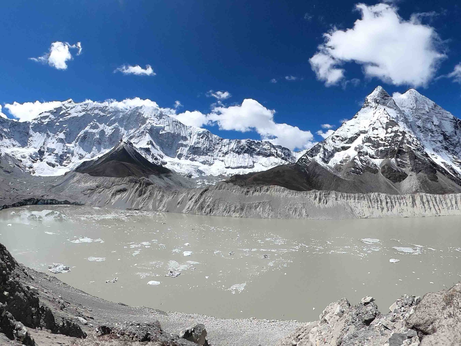
Glacier retreat is also affecting the economy. As glaciers retreat, new glacial lakes are forming behind weak natural dams made of snow, loose rocks and debris. If such dams fail, large volumes of water can flow downstream, causing major destruction.
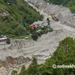
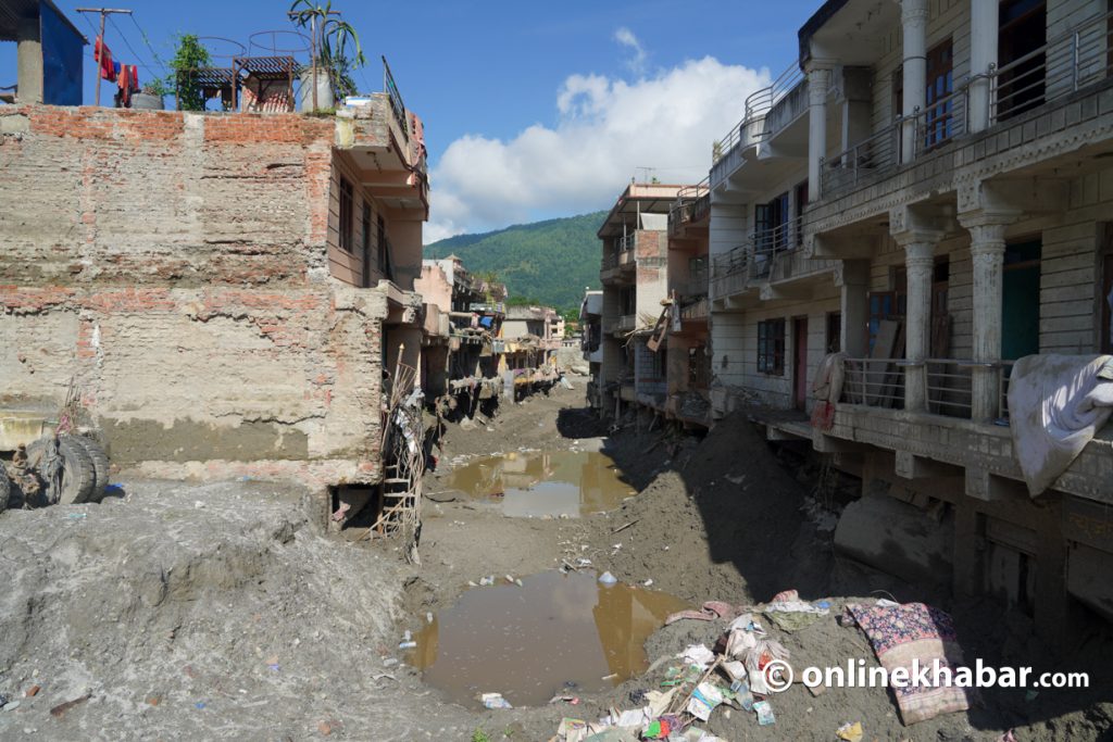
The Bhotekoshi flood in Rasuwa on August 26 caused loss of life and property, as well as damage to people’s livelihoods.
ICIMOD remote sensing expert Sudan Bikash Maharjan presented details of the changes in the Himalayas to the International Relations Committee of the House of Representatives. According to him, Nepal’s glacier area declined by about 31 per cent between 1980 and 2020.
The Yala Glacier has lost about 66 per cent of its area over the past 50 years, while its lower section has moved about 800 metres higher. Since 1982, the glacier has experienced significant loss of area and thinning, with its thickness declining by about 0.8–0.9 metres a year.
A 2014 study of the Langtang Valley showed a clear relationship between glacier changes and rising temperatures. The rate of glacier change in Langtang is about 25 per cent higher than the overall rate in Nepal. Temperatures in Langtang are rising by about 1.7 degrees Celsius per decade, nearly three times Nepal’s average.
The glacier area in the Langtang Lirung catchment has declined by about 35 per cent over the past 45 years. Between 1990 and 2026, the decline was about 25 per cent.
A recent large landslide and flood in the Langtang Lirung area involved an estimated total mass of 109 million cubic metres. Of this, about 38 million cubic metres came from the glacier and about 12 million cubic metres from the debris-covered glacier.
Joint Secretary at the Ministry of Agriculture, Forests and Environment Dr Maheshwar Raj Dhakal said rising temperatures and melting snow had caused snow masses to fall along with the ground, resulting in the destructive August 26 flood in Rasuwa and the Bhotekoshi area.
According to Dhakal, the initial speed of the flood was 180 kilometres per hour. It later became more destructive after combining with flows from the Kerung, Langtang and Mailung rivers. Greater damage was reported in Betravati and Devighat markets, while a large section of the mountain above Trishuli Bazaar also collapsed.
According to the latest figures cited by the government and the Ministry of Home Affairs, 1,395 people have died, 5,130 are missing and 9,358 have been injured in the August 26 disaster.
The Hindu Kush-Himalaya region is estimated to have around 40,000 glaciers, but only 0.1 per cent are regularly monitored. The report states that future disasters will be difficult to predict without regular monitoring, risk mapping and early warning systems.
Glacier water is the foundation of water security for a large population in South Asia. Most Himalayan river basins are expected to reach “peak water” by the middle of this century, after which river flows are expected to decline as glacier ice diminishes.
If current trends continue, up to 80 per cent of the present glacier ice could be at risk by the end of the century. This could affect agriculture, drinking water, hydropower, industries and cities.
The report says black carbon can be controlled more immediately than global climate change. It calls for a shift from petrol, diesel and coal to green energy and for reductions in black carbon emissions from sources such as brick kilns and petrol- and diesel-powered vehicles.
The report identifies 10 priority areas for action, including reducing black carbon, increasing glacier and permafrost monitoring, strengthening early warning systems, reviving drying water sources and improving forest management. It also calls for tourism to be developed according to carrying capacity.
According to the report, every rupee invested in these measures could generate an average benefit of about Rs 8 when economic, social and environmental benefits and avoided disaster losses are taken into account.
ICIMOD Director General Dr Pema Gyamtsho said the Hindu Kush-Himalaya region is changing rapidly, with glaciers retreating and permafrost and high-altitude slopes becoming increasingly unstable. He said this was creating complex and recurring disaster risks downstream.
According to Gyamtsho, such risks do not respect national borders. He stressed the need for cross-border monitoring, sharing of risk information, early warning systems and joint investment.
Grantham Research Institute Chair Lord Nicholas Stern has described the Himalayas as the “third pole.” Unlike the Arctic and Antarctic, tens of millions of people live around the Himalayan region. He said protecting glaciers is therefore directly linked to water, food, the economy and human security.
The report stresses the need to view glacier melt, unstable glacial lakes, unstable slopes, drying springs and disasters as parts of a connected system. Their impacts can extend to agricultural fields, water supplies, electricity and livelihoods in the plains.
Maharjan said the August 26 disaster was extremely large and difficult to predict, although similar floods had occurred in the Bhotekoshi area in the past.
He said lessons from an earlier disaster had led to the Kodari bridge being raised. He stressed the need to link rising temperatures, glacier decline, changes in permafrost, and the risks of landslides and floods with development planning.
According to him, infrastructure and settlement planning should require assessments of climate and mountain-related risks.