Kathmandu, September 20
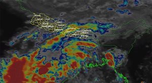
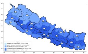
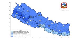
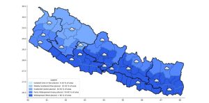
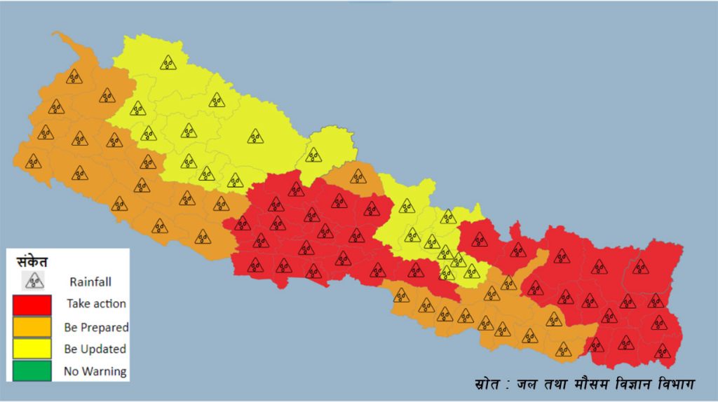
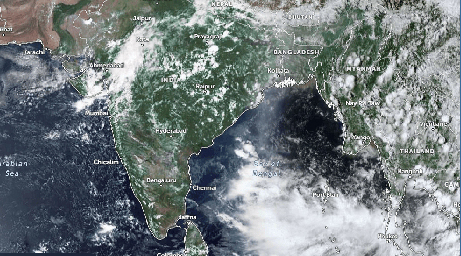
Some meteorologists have forecast that rainfall activity could increase across Nepal from September 24 to 28, due to a low-pressure system developing in the Bay of Bengal. They say certain areas could see extremely heavy rainfall and have stressed the need for preparation and caution.
Binod Pokharel, a hydrologist and meteorologist at Tribhuvan University, said his study of various forecast models suggests a strong likelihood of rainfall nationwide from September 24 to 28.
He noted on social media that some models project over 400 mm of rainfall during that period, with certain scenarios showing as much as 741 mm. However, he expects this rainfall to be concentrated in specific areas rather than spread evenly across the country.
“I’m making this forecast public only after looking at many forecast models,” Pokharel wrote. “This isn’t meant to scare anyone; it’s meant to help everyone prepare quickly.”
According to Pokharel, as the monsoon begins withdrawing from northwestern India, dry winds from that region could affect the movement of the low-pressure system coming from the Bay of Bengal. He said this could push its impact toward Nepal, raising the risk of heavy rainfall in some areas.
Bigger impact around September 24-28
Meteorologist and environmental expert Ujjwal Upadhyay also said the weather system developing in the Bay of Bengal needs close watching. He noted that most currently available forecast models show a serious situation from September 24 to 28.
According to Upadhyay, indications point to September 26 as the day of highest risk. However, he cautioned against treating the current forecast as final.
“I’m still hopeful the potentially severe rain of September 24 to 26 might ease somewhat,” Upadhyay wrote on Facebook, ” but measured against nearly all currently available models, the situation looks alarming.”
He also pointed to last year’s example as a reason forecasted risk could diminish by the time it plays out. He noted that the “Montha” cyclone in November last year, despite being powerful along India’s eastern coast, had weakened into a low-pressure system by the time it reached Nepal, resulting in far less damage than anticipated. “I’m hoping for a similar kind of fortune this time,” he wrote.
He urged the public not to panic over the potential risk, but to remain highly alert. “Let’s not fear, let’s not panic, let’s stay aware, let’s be as careful as possible,” he said.
Upadhyay also suggested it may be wise to postpone long-distance travel on September 24, 25, and 26 in areas outside the Far West. However, he said the actual intensity of the rain and which areas would be most affected isn’t yet clear.
Meteorological Department says it’s monitoring closely
Nepal’s Department of Hydrology and Meteorology said it is closely monitoring the weather system developing in the Bay of Bengal.
“Systems like this sometimes fade into a depression and change direction,” senior department meteorologist Barun Paudel told OnlineKhabar. “But we’re watching it very closely and with real concern.”
He said the department would have more clarity on its impact in the coming days.
He said that once there is more clarity about the system’s effect on Nepal, the department will share the necessary information through an official notice.
He added that although there’s growing discussion on social media about heavy rain from September 24 to 28, it will take a few more days before a conclusion can be drawn about the exact amount of rainfall, its geographic spread, and the level of risk. According to him, how the low-pressure system develops, and any changes in its direction and strength in the coming days, will determine its actual impact on Nepal.
Meteorologists say that if the rainfall occurs as forecast, it could also affect the agriculture sector, particularly ripened paddy crops, and have urged farmers to stay alert.
If it becomes a cyclone, it will be named “Arnab”
India’s Meteorological Department has said that a system formed over northern Thailand and adjoining Myanmar is likely to develop into a low-pressure area over the north Andaman Sea within the next 48 hours.
The system is then expected to move toward the central Bay of Bengal and could develop into a depression or deep depression by September 22.
Since a weather system forming in the Bay of Bengal could also affect India’s eastern coastal region, monitoring has been increased in Andhra Pradesh, Odisha, and West Bengal.
If the system developing in the Bay of Bengal turns into a cyclone, it will be the first tropical cyclone of the 2026 North Indian Ocean season.
In that case, according to the World Meteorological Organization’s North Indian Ocean cyclone naming list, it will be named “Arnab”, a name contributed by Bangladesh.