Kathmandu, October 13
A devastating flood in the Budhi Gandaki River in Gorkha was triggered by a combination of an avalanche, a massive landslide and a large volume of debris flowing downstream, according to a technical report by the National Disaster Risk Reduction and Management Authority (NDRRMA).
The report states that an avalanche occurred at an altitude of around 5,500 metres near the headwaters of the Ungilung Khola in Chumnubri Rural Municipality-6, followed by a massive landslide carrying snow, water and debris.
The incident took place at around 4:20 am on October 11, in the high-altitude area of Ungilung Khola, between Chamar Himal and Syerangi Himal, according to the report. Preliminary assessments suggest that relatively weak rock formations, along with glacier ice and debris, were swept away during the event.
A preliminary assessment by the Department of Mines and Geology estimated that the landslide generated energy equivalent to an earthquake of around magnitude 3.5.
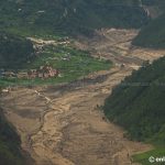
The massive flow of snow, water and debris travelled south through the gorge of Ungilung Khola, affecting areas up to around 300 metres above the stream’s banks, the report said.
At an altitude of approximately 2,000 metres, a large volume of debris accumulated at the narrow confluence of Ungilung Khola and Syar Khola, temporarily blocking the latter’s flow before the obstruction eventually gave way. The authority believes a similar process may have occurred at the confluence of Syar Khola and the Budhi Gandaki River.
Debris played major role in raising flood levels
The technical report highlights that debris carried by Ungilung Khola played a significant role in raising the flood level in the Budhi Gandaki River, beyond the effect of water accumulating behind the blockage on Syar Khola.
This process appears to have contributed to repeated flood surges in downstream areas, according to the report.
The flow of Syar Khola had stopped approximately an hour before the flood reached its highest level. Field observations found that water had accumulated for around 1.5 kilometres upstream along Syar Khola.
Even after the main flood surge, several smaller waves followed, the report said.
Flood reached 20 to 25 metres at Salleri
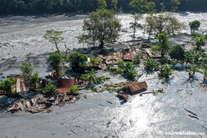
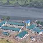
The mud-and-debris-laden flood first reached Salleri at around 4:30 am. Its highest level arrived at approximately 6:30 am, sweeping away a camp belonging to a hydropower project in the area.
The flood level at Salleri is estimated to have reached between 20 and 25 metres.
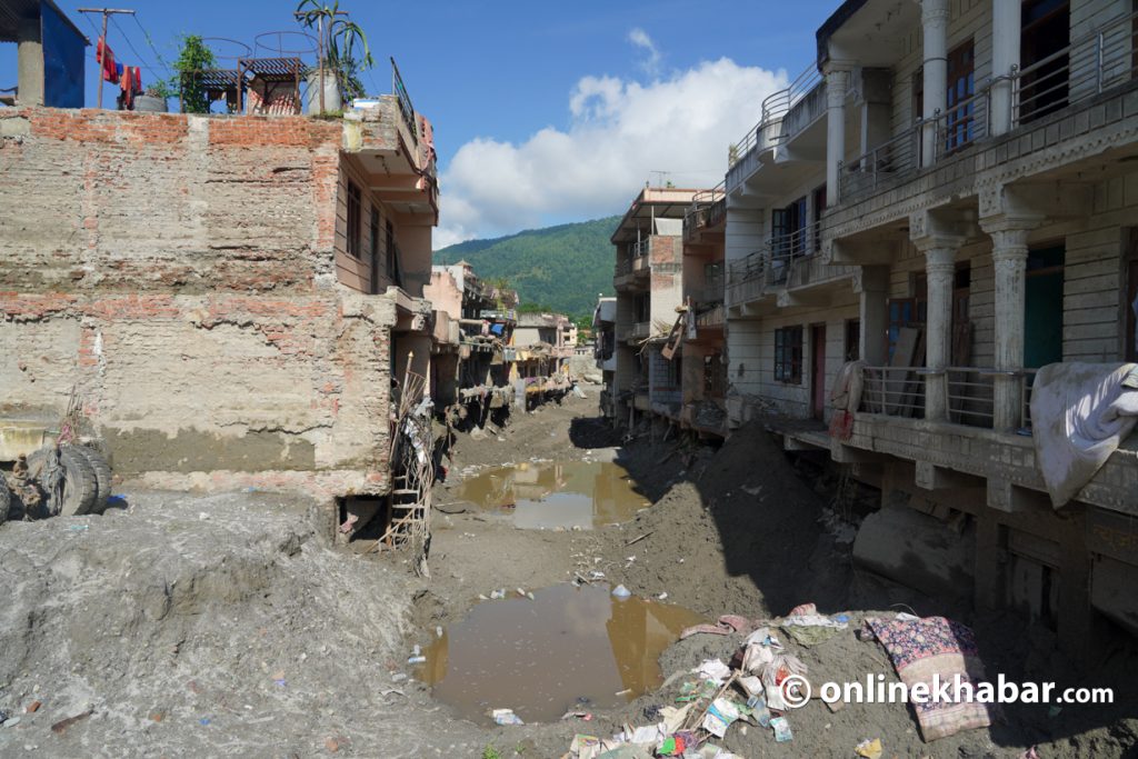
The massive surge caused significant damage to structures downstream, particularly buildings in Jagat and concrete bridges over Soti Khola and the Budhi Gandaki River, according to the report.
High mud content gave flood viscous characteristics
The report also found that the flood contained a relatively high proportion of soil compared with sand and small and large rocks.
The high soil content gave the flow the characteristics of a viscous mudflow, making it thick, sticky and relatively slow-moving.
The report attributed this characteristic primarily to the comparatively high soil content in the sediment and sedimentary rock formations found in the source area.
Such flows can carry substantial amounts of debris into river channels and cause extensive damage to infrastructure in downstream areas.
The technical assessment links the Budhi Gandaki flood to a chain of interconnected processes involving an avalanche, a massive landslide, a rapid debris flow and the temporary blockage and subsequent release of river water.
The findings highlight the potential for high-altitude disasters to trigger cascading hazards that threaten downstream settlements and infrastructure along river corridors.