Kathmandu, August 13
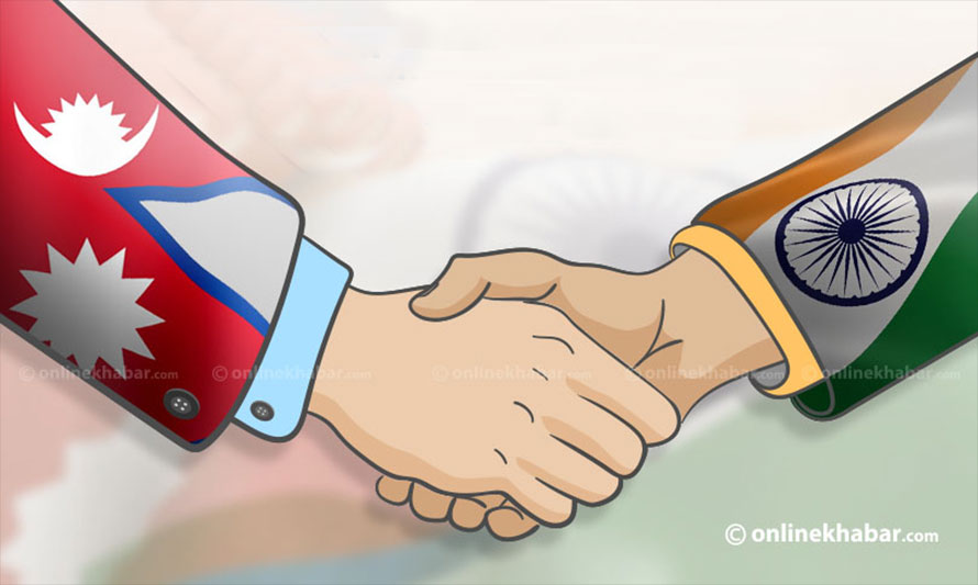
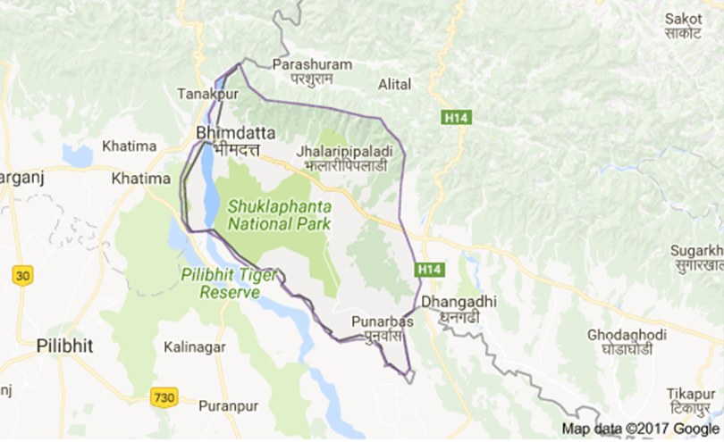
Elected people’s representatives in the Kanchanpur district in southwestern Nepal have claimed they have detected an error in a strip map showing the Nepal-India border, claiming it wrongly showed a section of the Nepali land on the Indian side.
They have demanded that the government immediately take initiatives to correct the error and safeguard its territory. Field surveys to prepare the strips maps in the district were done in the late 1980s, in the late 1990s, and in the early 2000s, according to Land Management Minister Padma Kumari Aryal.
A meeting of the State Affairs and Good Governance Committee in the House of Representatives discussed the issue on Wednesday after a group of politicians representing the district in the federal and provincial parliaments and local government officials filed an application demanding discussion.
Lawmakers Niru Devi Pal, Deepak Prakash Bhatta, and Nara Bahadur Dhami, and former lawmaker Kripa Ram Rana had filed the application. Speaking in the meeting, Pallav Raj Bhatta, a local activist, said if the strip map was considered valid, some canals and schools built by the state would also belong to India.
In response, Aryal said the error should be corrected following diplomatic procedures between the two countries.