Until a few years ago, weather predictions in Nepal were often inaccurate. When rain was predicted, the sun would shine, and when sunshine was expected, it would rain. People would joke, saying, “The meteorologist has said it won’t rain today, so better carry an umbrella.”
“At that time, how could we make accurate forecasts? We were forced to predict the weather by just looking at the sky,” recalls meteorologist Pratibha Manandhar. “We even had to call local people to ask if it had rained in their area.”
In recent years, however, the situation has changed. Weather forecasting in Nepal has become more scientific and accurate.
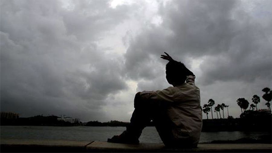
Before the onset of the monsoon, the Department of Hydrology and Meteorology had projected that this year’s monsoon season would see above-average rainfall and temperatures. Along with this prediction, they warned of the risk of extreme weather events.
At that time, meteorologists from the department predicted the influence of ‘El Niño’ in the first two months (June and July) of the monsoon and ‘La Niña’ in the last two months (August and September). During El Niño, there is usually less rainfall, while during La Niña, rainfall increases.
Indeed, July witnessed record-breaking heat, even as it rained continuously.
Recently, record-breaking rainfall occurred between September 26 and 28, resulting in significant disasters. Over 24 hours, ending at 8:45 am on September 28, 25 weather stations in 14 districts recorded record-breaking rainfall.
On September 23, the Weather Forecasting Division of the Department issued a special bulletin, warning that the monsoon was becoming active. At that time, they forecasted that 27 districts would be at high risk and 42 at moderate risk of heavy rain.
Two days later, on September 25, the division updated its bulletin, stating that floods and landslides from heavy rainfall could place 56 districts at high risk and 19 at moderate risk.
Onlinekhabar published a news article at 8 a.m. on September 25, even before the government’s update.
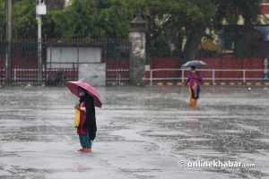
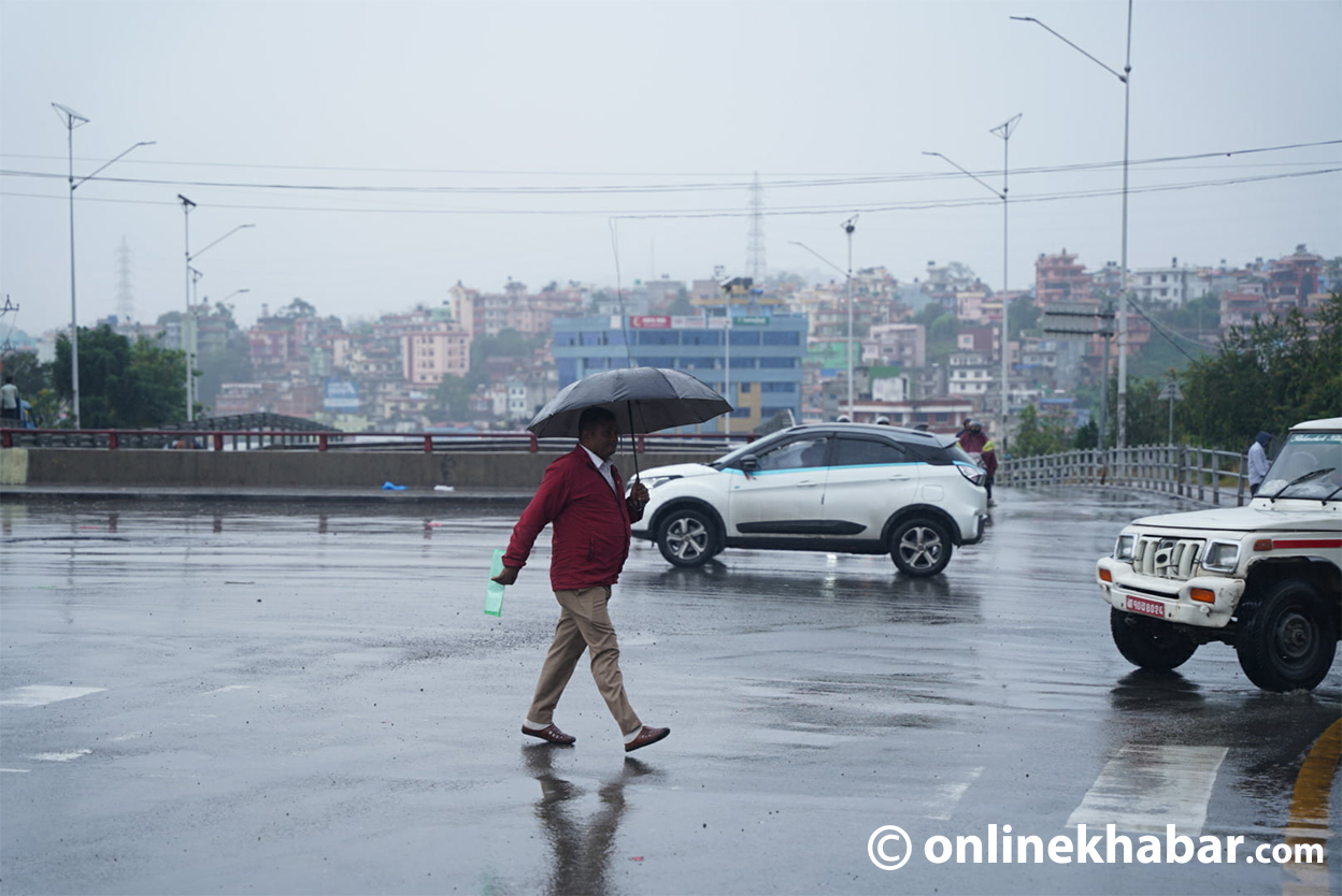
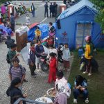
As forecasted, heavy rain led to floods and landslides, claiming over 200 lives. Highways and smaller roads were destroyed, bridges were washed away, thousands were stranded, and entire villages and markets turned into barren lands. Communication networks were also disrupted.
The situation became so tragic that in the landslide-prone Jhyalple Khola area between Naubise and Nagdhunga, more than three dozen people died. Even though it was close to Kathmandu, rescue teams could not reach on time.
Similarly, in Kathmandu Valley, a family stranded in the floodwaters of the Nakhu River in Lalitpur waited for rescue for hours, but no one arrived. They were eventually swept away by the flood, although Chanikalal Tamang, a local, managed to save them.
This disaster could have been mitigated if adequate preparations had been made, as weather experts had already given early warnings.
Earlier, on July 8 and 9, meteorologists had predicted intense rainfall in Kanchanpur before a cloudburst event occurred. As a result, more than 1,460 families, or 5,100 individuals, were safely relocated from risk-prone areas. This proactive step significantly reduced human casualties.
Between July 8 and 9, the Dodhara automatic rainfall measurement centre recorded 624 mm of rain over 24 hours. According to records dating back to 1947, this was the highest recorded rainfall in Nepal’s history, submerging Mahendranagar and nearby settlements.
How are accurate weather forecasts made?
The Central Office of the Department of Hydrology and Meteorology is in a nine-story building in Babarmahal, while the Weather Forecasting Division operates from two rooms provided by the Tribhuvan International Airport control tower.
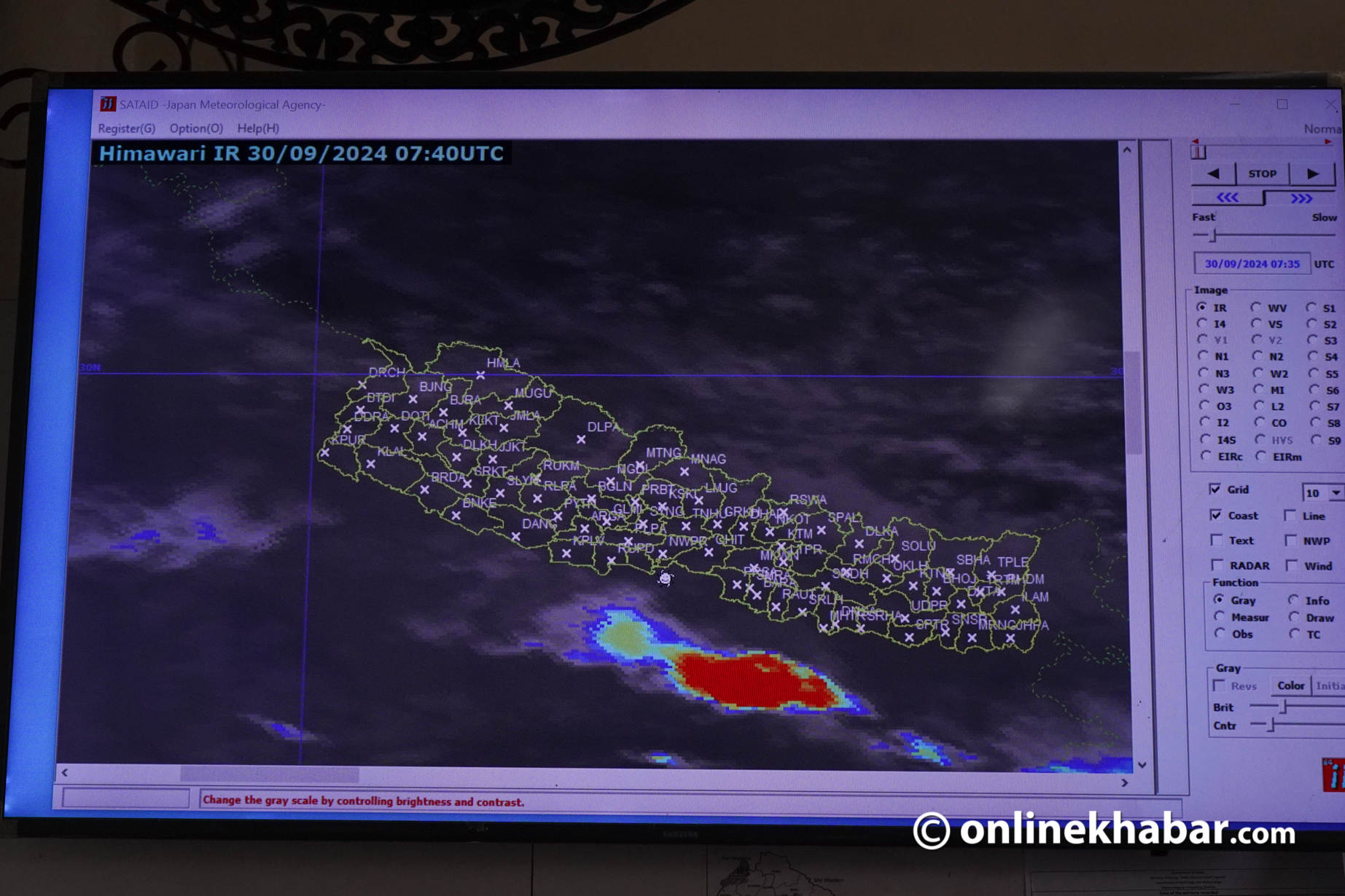
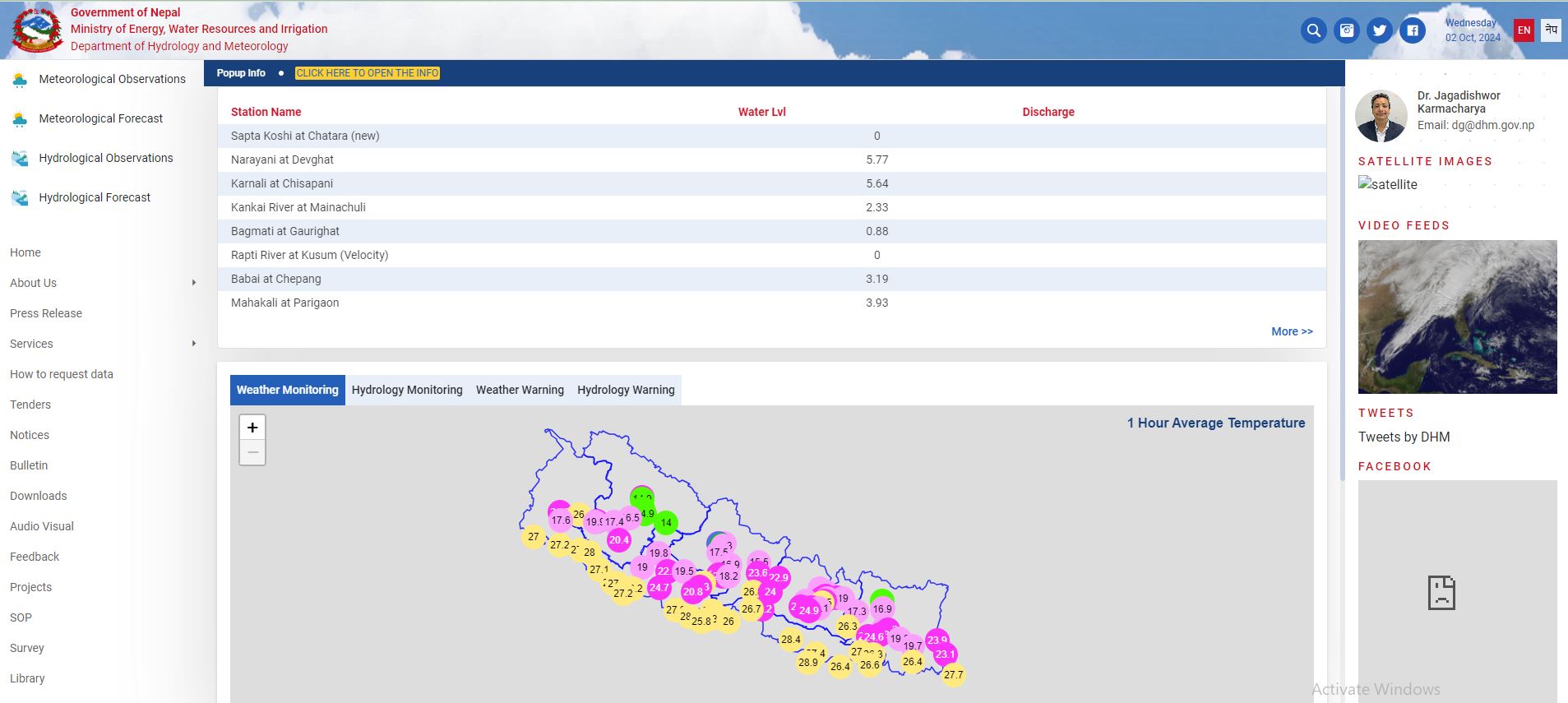
The division relies on about a dozen computers to monitor weather data. These computers receive satellite images from China, India, and Japan, access free weather prediction models, and display data from rain and temperature measurement centres across Nepal.
Meteorologists also download surface map analysis data for free to track weather activities in India, Pakistan, Bangladesh, and nearby areas to understand potential impacts on Nepal.
Nepal has automatic and manual weather and rain measurement centres from the eastern to the western parts of the country, and from the mountains to the plains. There are 172 automatic weather stations (AWS), which automatically measure temperature, relative humidity, atmospheric pressure, wind speed, and rainfall. The data is directly sent to the central computer.
Additionally, there are 168 tipping bucket stations (TPB) that specifically measure rainfall. There are also 8 synoptic and 14 aero-synoptic stations, and the data from 17 of these are shared worldwide via the World Meteorological Organization (WMO).
To enhance weather predictions, the Department has even installed advanced radar systems capable of monitoring air moisture, wind speed, rainfall, and snow up to 200 kilometres around.
The department’s meteorologists analyse all data, models, and satellite images twice a day—at 6 am and 6 pm—to publish weather forecasts for up to three days. For any unusual weather events, they issue special bulletins and send alert messages to residents in risk-prone areas.
Currently, around 12 personnel work at the division, monitoring atmospheric changes and collecting data 24/7.
International Support
Nepal became a member of the World Meteorological Organization in 1966, but weather forecasting began in 1968. Initially, forecasts were limited and often based on visual observations due to a lack of technology.
India first established water and weather centres in Nepal to provide necessary weather information for aviation purposes.
In 1988, with the establishment of the Department of Hydrology and Meteorology, Nepal received satellite support from the WMO. In 2010, Finland helped install a mathematical-based weather prediction system, which significantly improved forecasts.
China and Japan have also supported the department by providing satellite receiver systems. Japan’s Himawari-8 and China’s Fengyun satellite provide weather images every 10 minutes. Nepal also accesses India’s INSAT satellite, which offers more accurate data due to its direct view of South Asia.
The department also receives seasonal weather forecasts from the South Asian Climate Outlook Forum (SASCOF).
Enhanced responsibilities
In recent years, public interest in weather has surged. During the intense rainfall on September 26 and 27, over 600 calls for weather information were received in a single day.
To provide more reliable and location-specific forecasts, the department plans to extend its current three-day forecast to cover up to 5 to 7 days in the future, as per the 15th and 16th government plans. However, this has yet to be implemented.
Dr Jagadishwar Karmacharya, Director-General of the Department, emphasises that with an additional 20–25% investment in technology and workforce, even better weather forecasting services could be provided.
Meteorologist Govinda Jha of the Weather Forecasting Division highlights that forecasts in Nepal have become 80–85% accurate. “Considering Nepal’s unique geography and the lack of sufficient models, achieving this level of accuracy is commendable,” he states.