Kathmandu, November 7
The new political map released by India after the re-demarcation of some of the states accurately depicts its sovereign territory, India’s Ministry of External Affairs said as protests erupted in Nepal over the map.
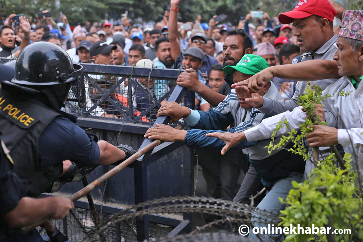
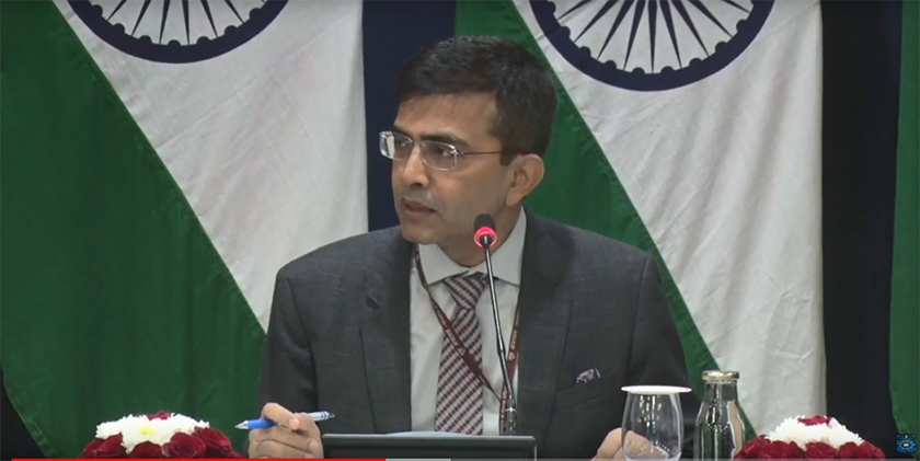
“The new map has in no manner revised our boundary with Nepal,” said the ministry’s spokesperson Raveesh Kumar responding to a question on the protests in Nepal over the depiction of bilateral boundaries in the Kalapani area.
“The boundary delineation exercise with Nepal is ongoing under the existing mechanism,” said Kumar adding, “We reiterate our commitment to find(ing) a solution through dialogue in the spirit of our close bilateratal friendly relationship.”
The spokesperson said that both Nepal and India “should guard against vested interest out there to create some differences between the two countries.”