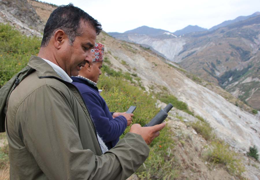
It is quite unusual for villagers of remote Bajura district as they see 18 people from diverse backgrounds, from youth to senior citizens, busy collecting the field data using the GPS (global positioning system) and smartphones.
But recently, the locals of Budhiganga municipality of the district got trained recently to digitally map their resources, landmarks and upload them on the global open platforms called OpenStreetMap. OpenStreetMap is a global initiative to create a complete map contributed by the volunteers which are freely available for everyone to use in the future.
“We wish to create a task force who are readily available to map their own area whenever needed, we are confident that this will contribute to addressing the data gaps and will be crucial in the context of new federal structure,” says Uttam Pudasaini, a leader of the team who trained locals in Bajhang and Bajura districts.
Confident locals
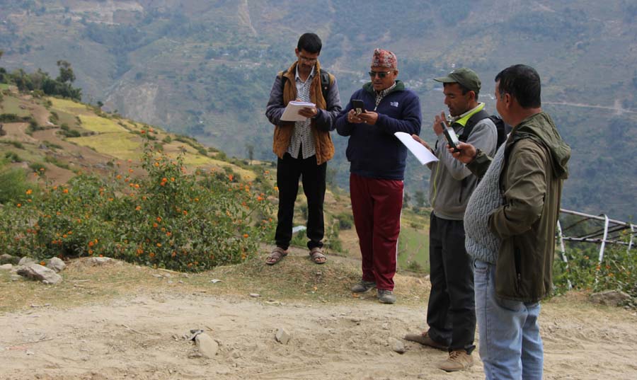
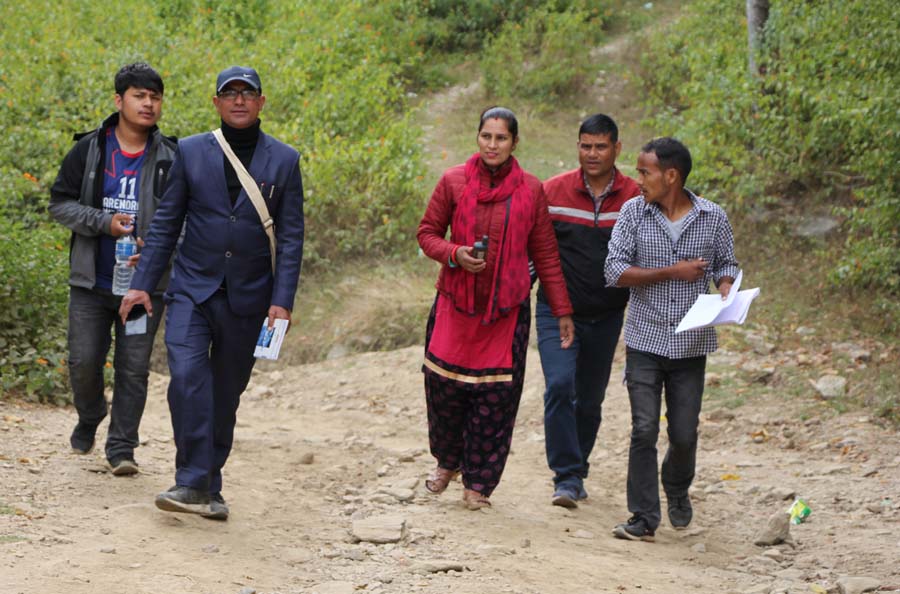
Participants showed great enthusiasm to map their areas as the results were visible instantly online. The experts’ team had remotely mapped whole areas of Bajhang and Bajura beforehand. Some information from the remote map about two municipalities was validated by the participants who collected the field-based data. A total of 41 locals from the two districts participated in the training and made contributions to the validation.
Mira Kumari Joshi, an information technology officer in Khaptad Chhededaha rural municipality, was one of these participants. She says, “We face many difficulties due to unavailability of the digital information about our region and now we are confident that we will be able to map our own area and use this to fulfil our own needs.”
Likewise, Khadak Singh Bista, a local school principal, says, “These kinds of technical skills need to be transferred to the local communities, which could greatly contribute to supporting local level developmental efforts”.
Support for development planning
With the new federal structure in place, the local units seem to be suffering from data deficiency and they have to start it over from level zero. Most of the municipalities are still in the process of producing their municipality profile. Most importantly, if someone wishes to visit the municipality and ward offices from outside, their location is not available online. The only way is to ask local people about the location and rely on them, which sometimes might not be accurate.
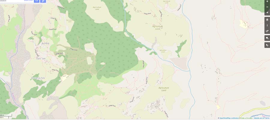
During the fieldwork in Bajhang and Bajura, this team found out that even the government authorities like ward offices were not digitally mapped and it was very difficult to find the location for outsiders and even for the community people.
Hence, Deepak Shah, mayor of the Budhiganga municipality, states, “These kinds of information are important in making the development plans and also tracking the road development in the area”.
Information for resilience
Bajura is considered to be one of the most disaster-prone districts of the country. It is impacted by a diverse range of disasters. The situation is exacerbated by the impacts of global environmental changes. In this context, location-based information can play an important role during emergencies in this age of technology.
In cases of humanitarian emergencies, this information will be crucial as the information about key services including health posts, financial services, first aid, and the security forces are available online, for free. Also, if any humanitarian actors wish to use this information for planning any activities, these data can be very helpful. The community-mapped open spaces can also be used for evacuation, safe shelters and spots for landing helicopters during emergency situations.
On September 16, 2019, the Sanphe-Martadi road section at Balde of Budhiganga municipality in Bajura was blocked due to a massive landslide. There were many other active landslides in the districts, not mapped and located. With this mapping effort, some of the major landslides have been mapped and are available online. Most importantly, local people have been empowered to fill the data gap in the future.