Kathmandu, September 23
A low-pressure system developing over the Bay of Bengal is gradually strengthening, and meteorologists have been monitoring it and issuing updated bulletins.
As of this writing, it has not yet taken the form of a cyclone. If it does become a cyclone, its strength will be clearer and its impact more predictable. Even if it stays as a low-pressure area rather than becoming a cyclone, it still carries considerable energy, and it is likely to bring widespread rain across Nepal.
According to meteorologists, systems that develop over the Bay of Bengal and the Arabian Sea generally affect Nepal indirectly rather than directly.
The system is currently moving from the Andaman-Nicobar region toward Andhra Pradesh and Odisha. While over the sea, it can gain more energy and moisture and grow stronger.
Once it moves onto land in India, friction with the terrain will gradually weaken it. However, the clouds, moisture, and rain system it generates will still travel through India and reach Nepal.
The system’s eventual path and strength will determine its impact on Nepal. Since its path could still shift, it remains difficult to say exactly how much rain will fall or what effects it will have.
What impact could Kathmandu see?
According to Madan Sigdel, associate professor at Tribhuvan University’s Central Department of Hydrology and Meteorology, current projections suggest the system may move through Jharkhand in India, then Gorakhpur in Uttar Pradesh, and on toward Bihar.
“If it comes in around Bihar and Uttar Pradesh, Bagmati, Gandaki and Lumbini provinces could see higher risk,” Sigdel said. “Current estimates suggest it’s more likely to move via Gorakhpur. If that holds, Kathmandu Valley, the eastern part of Bagmati, and Lumbini and Gandaki could be affected more.”
The Department of Hydrology and Meteorology has also forecast greater impact in Lumbini and Gandaki provinces.
He said that because Kathmandu is heavily urbanised, hemmed in by waterways, and has poor drainage, even a sustained 50 to 80 mm of rainfall could cause flooding there.
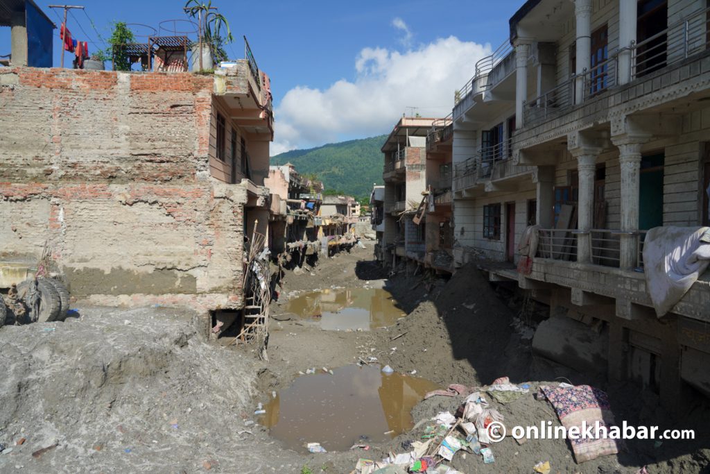
“Whereas it takes 100–150 mm of rain to cause risk in areas like Lumbini, in Kathmandu even around 50 mm can be enough to create risk,” Sigdel said. “So, looking at past flooding in areas like Nakkhu, it’s necessary to prepare to avoid such risk.”
Main risk from Friday
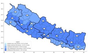
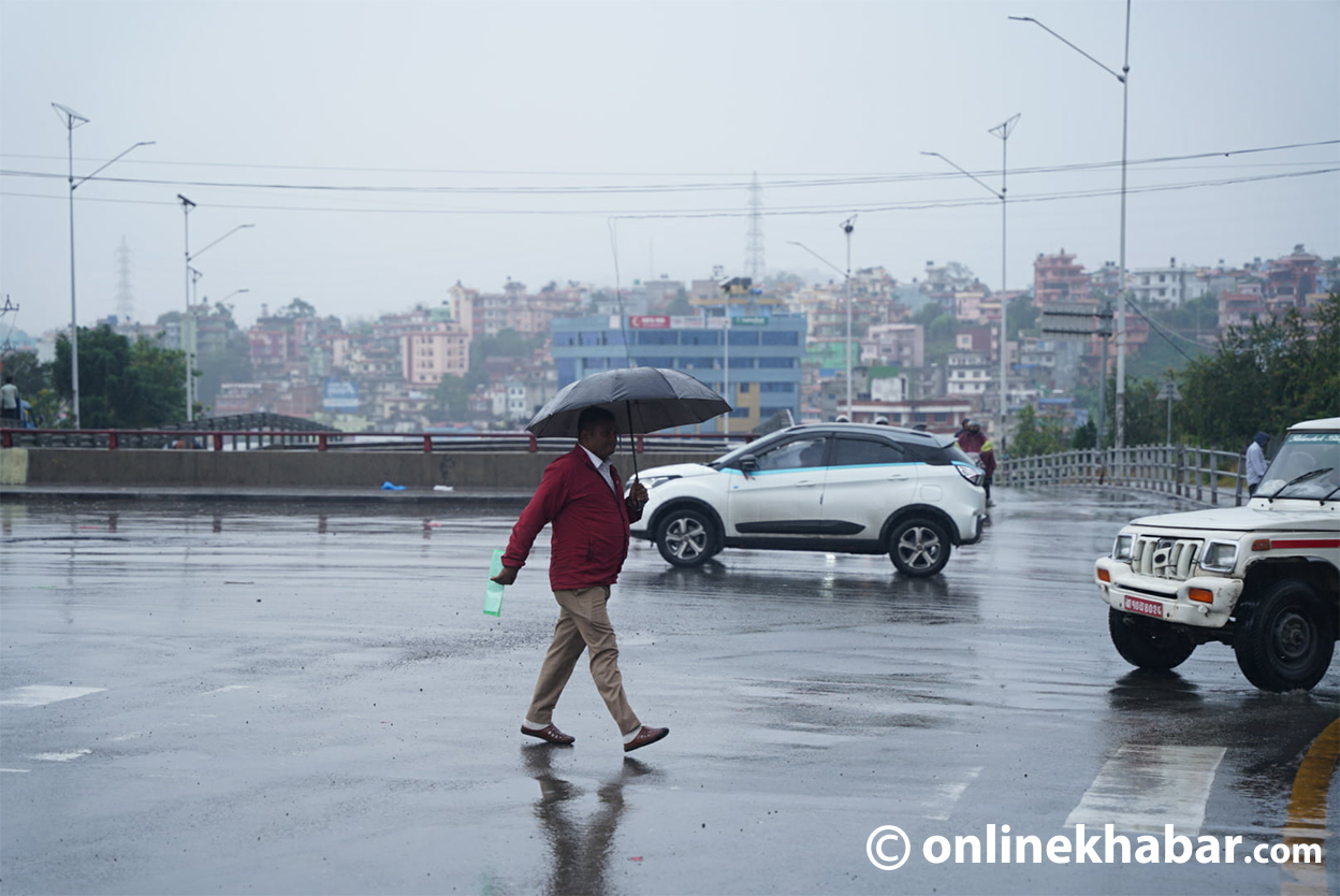
The effects of this weather system have already begun appearing in Nepal since this morning, with continued cloud cover and rain. Forecasts indicate the area and volume of rain and cloud will increase further from Thursday, with the Department of Hydrology and Meteorology forecasting the greatest impact from September 25 to 27.
According to department spokesperson Bibhuti Pokharel, the system’s effects will bring rain or snow across Nepal, with strong winds in some places. However, current estimates suggest comparatively heavier rain and snowfall in districts of Lumbini and Gandaki provinces.
Since the impact could bring flooding in the Tarai, landslides in the hills, and snowfall in the mountains, meteorologists say vigilance is needed nationwide.
Professor Madan Sigdel of Tribhuvan University’s Central Department of Hydrology and Meteorology also said caution is needed from east to west and from the mountains to the Tarai.
According to him, the first major risk from heavy rain is flooding in the Tarai. As water levels rise in rivers and streams, riverbank and low-lying settlements could be affected.
In hilly areas, the risk of landslides is greater. Because the ground in many areas has already been saturated recently, and roads and infrastructure have already been weakened by earlier disasters, additional rain could raise the risk further.
“Since we’re in the latter half of the monsoon, the ground is already soaked and weakened, so even a short spell of rain can carry high risk. If we prepare for the big one, we can handle the smaller ones,” Sigdel said.
“Red alert” for high mountain areas
In the risk map of the special bulletin issued by the Department of Hydrology and Meteorology, high-mountain districts are also marked in red, indicating high risk. Spokesperson Pokharel explained the reason: “There’s a possibility of a snowstorm in the mountain regions, which is why the risk there is estimated to be somewhat higher.”
Meteorologists therefore advise that those trekking or mountaineering in high-altitude areas manage their travel according to weather conditions.
“It’s best not to go trekking right now, and if already out there, to move to a safe location,” Sigdel said.
Even 150 mm of rain could be risky
Some independent meteorologists have written on social media that the system could bring up to 400 mm of rain over its duration.
The Department of Hydrology and Meteorology, Nepal’s official weather authority, has not released a rainfall estimate but has forecast heavy to very heavy rain in some areas.
According to the department, more than 50 mm but less than 100 mm of rain is classified as “heavy rain”; more than 100 mm but less than 200 mm as “very heavy”; and more than 200 mm as “extremely heavy” rainfall.
Sigdel said that with the ground already saturated, even 100–150 mm of rain in 24 hours could bring risk of landslides, flooding, and road damage.
“Overall, heavy rain plus weakened ground can create risk. In the current situation, even 100–150 mm of rain in a day could be risky,” Sigdel said.
Home Minister Sudan Gurung and Energy Minister Birajbhakta Shrestha visited the department on Tuesday to learn about the possible risks and preparations for risk reduction.
He said that although the system may weaken as it moves through India, its potential to bring prolonged heavy rain to Nepal should not be dismissed, and preparation is needed to guard against the risk.
Meteorologists specifically advise against night travel during this period, saying it would be particularly risky. Even during the day, they suggest travelling only based on actual rainfall in the area, road conditions, and official advisories.
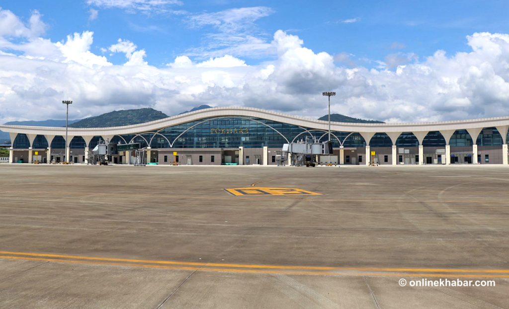
Since heavy rain could affect both road transport and air services, Sigdel said the relevant authorities should manage transportation according to the risk.
“Given the possibility of heavy rain, it would be best to avoid long-distance travel between September 25 and 27 if possible,” he said.
Caution and preparation
Since heavy rain in watershed areas affects river systems downstream, he suggested that those living near rivers and streams take special precautions for the next few days.
“The provincial, local, and federal governments each need to prepare in their own way and get accurate information to at-risk areas in time,” Sigdel said. “If early warnings are taken seriously and precautions are taken in time, loss of life and property can be reduced.”
He also said that identifying potential landslide-prone areas, restricting movement through them during heavy rain, monitoring river conditions, and warning at-risk settlements in time were necessary.
Sigdel suggested that local governments identify areas prone to landslides and flooding, step up monitoring of rivers and streams, issue early warnings to at-risk communities, and prepare to relocate people to safe areas if needed.
With heavy rain expected, farmers too should make immediate necessary preparations. Meteorologists advise paying attention to the timing of harvesting ripening paddy and to weather conditions, and storing harvested paddy in a safe place.
Follow official information, not rumours
Weather systems keep changing, so forecasts are updated regularly as the system’s direction and intensity shift.
Experts therefore caution against forming opinions based on unverified information and exaggerated claims circulating on social media.
Experts stress that decisions regarding weather and disasters should be based on official information issued by the relevant government agencies of Nepal.