
Kathmandu, September 2
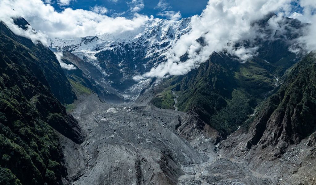
Experts studying the glacier collapse believed to have triggered the devastating Bhotekoshi flood estimate that around 25 million cubic metres of snow and ice fell nearly 2,000 metres from the northern Langtang region.
The massive icefall is believed to have generated an impact comparable to a powerful explosion, contributing to the unusually destructive flood that swept through the Lhende Khola and the Bhotekoshi river system.
Prof Dr Ranjan Kumar Dahal, a geologist at Tribhuvan University’s Central Department of Geology, is part of a team studying the glacier collapse and subsequent flooding.
“Even using a very conservative estimate based on satellite data, around 25 million cubic metres of snow and ice appear to have fallen,” Dahal told Onlinekhabar. “The energy generated when that mass fell about 2,000 metres would have had an impact similar to a bomb blast.”
According to Dahal, the impact was also recorded as equivalent to a 5.2-magnitude earthquake.
An unusually powerful ice avalanche
Dahal and scientists from Tongji University in Shanghai, the University of Cambridge, King’s College London and the University of Padua in Italy had already been studying changes taking place in the Himalayan region for about a year.
Their research included monitoring supraglacial lakes—small pools that form on glaciers—and other changes in the region above Rasuwa.
A supraglacial lake in the Pyurepu area had burst last year, contributing to flooding in the Bhotekoshi. The research team continued monitoring the region, and some of its members turned their attention to the glacier collapse after the latest disaster.
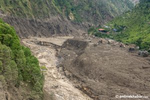
Satellite data indicates that the main ice avalanche was about 1.3 kilometres long and swept through an area measuring roughly 500 to 800 metres downhill.
The exact thickness of the collapsed mass is still being studied, but researchers estimate it may have been around 60 to 70 metres thick.
Based on different measurements, the total volume could be as high as 40 million cubic metres. Some preliminary estimates by other experts have put the figure at up to 100 million cubic metres.
Dahal, however, is using the more conservative estimate of 25 million cubic metres for now.
That volume would be enough to fill London’s Wembley Stadium around 22 times and is roughly 10 times the volume of Egypt’s Great Pyramid.
“This was not simply a block of ice falling downhill,” Dahal said. “It had effects similar to a powerful explosion. Witnesses themselves described it as sounding like an explosion.”
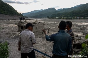
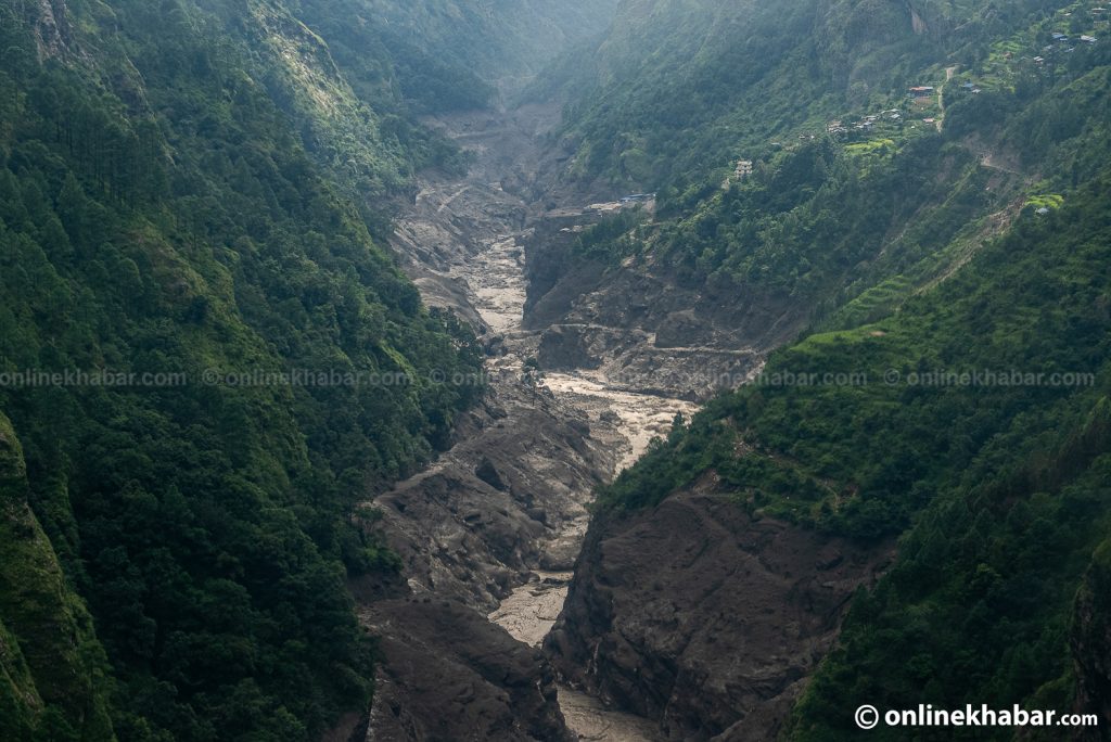
The force sent water, gases, rocks and ice rapidly downstream towards the confluence area near the Rasuwagadhi border point.
CCTV footage released from the Chinese side shows a powerful surge of water and debris rushing down from above, striking a hillside behind the Kerung customs and immigration office and damaging the structure.
Flood moved at different speeds

Some experts estimate that the flood travelled the roughly 12-kilometre stretch between the glacier collapse and the confluence at Rasuwagadhi at speeds of up to 120 kilometres per hour.
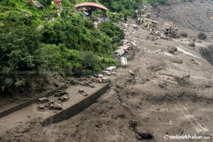
Unlike a conventional river flood, the event involved a rapidly moving mixture of water, rocks, debris and ice.
That unusual character led witnesses and others to describe it as an “aerial tsunami” or “Himalayan tsunami”.
Dahal says the speed and destructive potential of the rock-and-ice avalanche would have been difficult to anticipate.
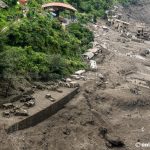
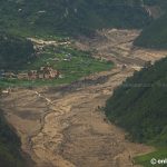
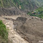
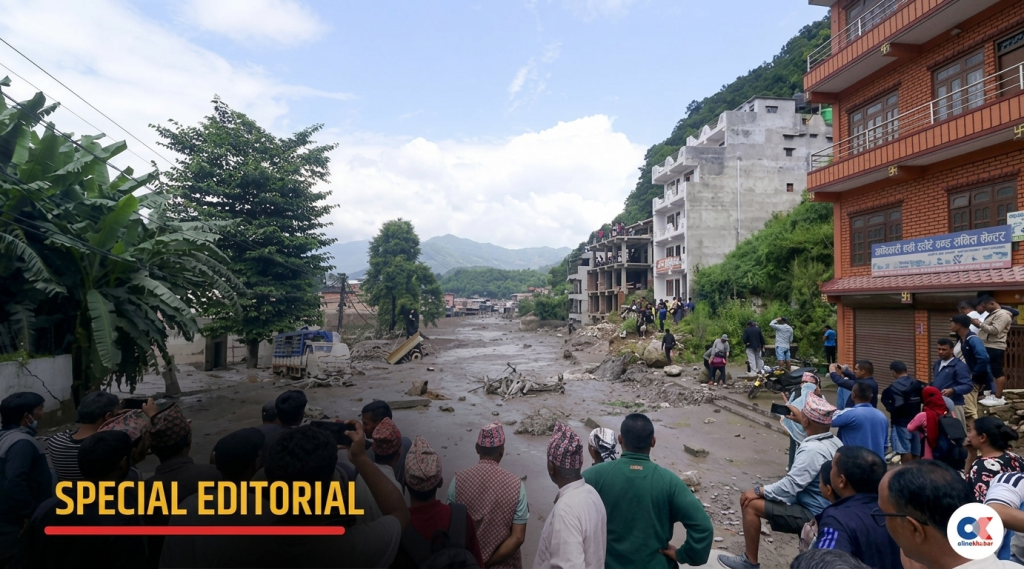
There is little visual material from the upper section between Lhende Khola and Rasuwagadhi because of the lack of human activity in the area. Videos from areas downstream of Rasuwagadhi, however, show the flood moving with such force that the entire river corridor appears covered in mist and debris.
Dahal believes the flow began slowing after reaching Rasuwagadhi. The avalanche was moving at high speed after hitting the ground and generating a powerful surge, but its speed gradually decreased as it reached flatter terrain around Betrawati, Trishuli and Devighat.
Two new lakes formed
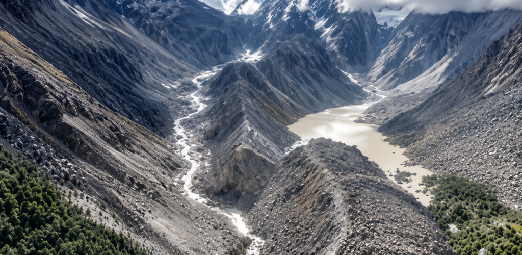
Satellite images show that a small lake has formed at the site where the main ice mass came crashing down. Chinese experts have referred to it as Barrier Lake-2.
Another elongated lake, known as Barrier Lake-1, formed alongside the Lhende Khola. It later filled and caused another flood in the Bhotekoshi two days ago. The Chinese government has since said that lake has emptied.
Dahal believes the initial ice avalanche may have swept up surrounding water and additional snow and ice as it moved downhill.
Videos of another landslide appearing to occur several hours after the initial event were also circulated on social media.
According to Dahal, another smaller landslide occurred at the same location two days later.
The research team is now analysing satellite and modelling data to determine the precise size and movement of the ice mass before the collapse.
“We plan to make some findings public over the next two or three weeks,” Dahal said.
Ground temperatures show sharp fluctuations

Researchers are also examining whether changing temperatures may have contributed to instability in the Langtang region.
Dahal says satellite data indicates that the ground surface around Langtang has been experiencing repeated periods of warming and cooling.
Data from the ERA-5 satellite system, which monitors temperature around two metres above the ground, shows temperatures in the past two years have been higher than the average recorded over the previous 25 years.
According to data released by Dahal, temperatures in the Langtang area have fluctuated by as much as 20 degrees Celsius—from around minus 12°C at some points to as high as 8°C at others.
There is currently no weather or environmental monitoring station in the area dedicated to continuously tracking conditions around Langtang. The lack of infrastructure has also limited the availability of ground-level data and early warning systems.
Researchers are therefore relying heavily on satellite observations to understand the changes taking place in the region.
“The data shows considerable fluctuations in temperature,” Dahal said. “We are studying what impact those repeated periods of warming and cooling may have had on the snow and glaciers, particularly their stability and movement.”