
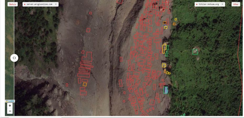
Nepal’s flood response is turning to volunteers far beyond the disaster zone, asking people to map buildings and roads from satellite images to help responders identify affected locations.
The Humanitarian OpenStreetMap Team (HOT), a global non-profit humanitarian mapping organisation, is working with the Prime Minister’s Office and other partners to map areas affected by the floods and provide geographic information that can support rescue and recovery efforts.
The work may look deceptively simple. A volunteer opens a satellite image, identifies a building and traces its outline on a digital map. Someone else may trace a road or another feature visible in the image.
But repeated thousands of times, those small contributions can produce a detailed map of an area where the landscape may have been radically altered by floodwaters and debris.
“The main goal is to support rescue and recovery operations by providing accurate data to the teams working on the ground,” said Kshitij Sharma, Product Owner at HOT, who said around 181 people are currently involved in the process. The live status of the mapping progress can be tracked here
HOT is working with local partners to identify priority areas for mapping. Volunteers from around the world can then work remotely on those areas, using satellite imagery to map buildings and other visible features.
The resulting maps are open-source and freely available to humanitarian organisations, government agencies, UN bodies and rapid-response teams. They are also packaged and shared as Nepal-specific disaster open data on the Humanitarian Data Exchange platform for use by humanitarian actors.
Sharma said mapping has almost been completed along the upper corridor of the Bhote Koshi, from Rasuwagadhi down to around Bidur.
“The mapping of the lower corridor is now starting, and we need as many people as possible to join the process so that it is easier for responders and the government to use the information,” he said.
How the mapping works
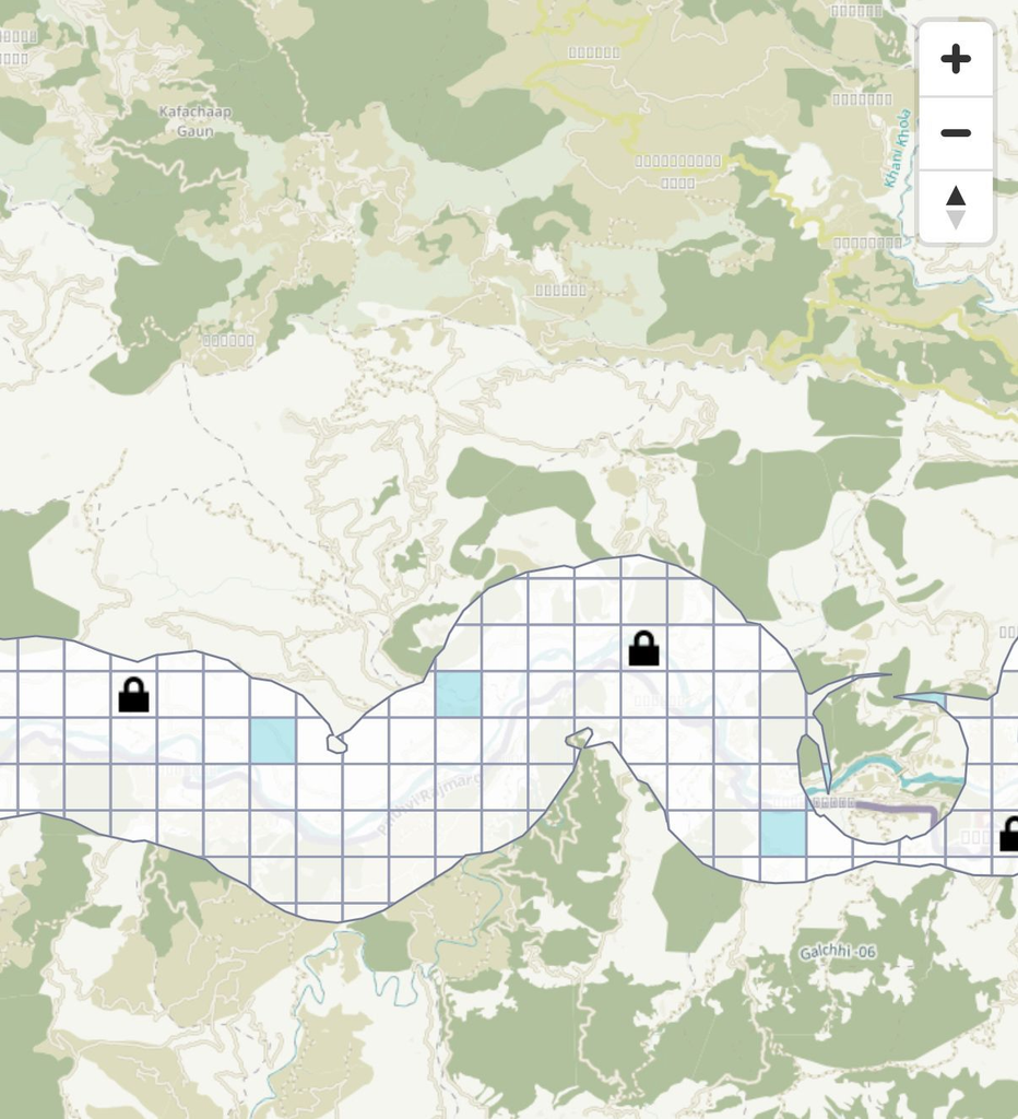
Volunteers do not need to map an entire disaster-affected area. The mapping platform breaks the work into small tasks that can be completed individually.
Each task comes with instructions explaining how to identify and map features in the satellite imagery. Tasks are available at different levels of difficulty, allowing people with no previous mapping experience to begin with simpler assignments.
An easy task can take about 10 to 15 minutes.
Once a volunteer submits their work, experienced mappers review and validate it before it becomes part of the wider map.
“People don’t have to be on the ground to contribute. They can map small areas from home using satellite imagery, and those contributions can become useful information for responders,” Sharma said.
For people unsure where to begin, HOT has prepared a tutorial video that walks volunteers through the process. It explains how to sign up, choose a mapping task, map buildings and map roads.
The platform also provides a visual indication of the work still to be done. Areas that have already been mapped appear in blue, while areas that still require mapping appear in white.
The map is updated as volunteers complete and submit tasks, with the resulting data shared with rescuers and government agencies, who are provided with the latitude and longitude coordinates of mapped locations.
Why mapping matters after a flood
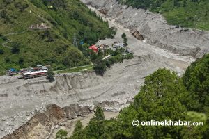
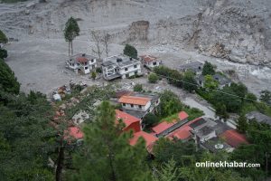
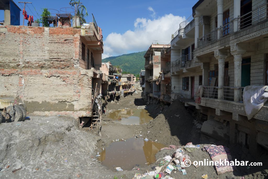
A flood can change a landscape in hours.
Buildings may be damaged or covered by debris. Roads and other familiar landmarks may become difficult to identify. For people trying to assess an affected area from the ground, knowing what stood there before the disaster can be crucial.
Satellite imagery provides one way of establishing that picture.
Mappers can compare imagery from before and after a disaster to identify buildings and other structures and document changes. They can then record the precise location of those structures using geographic coordinates, including latitude and longitude.
That information can help responders focus on particular locations rather than searching an entire affected area.
“We can tell responders, ‘This is where a building was located,’ and provide the coordinates so they can go and check that specific location,” Sharma said.
A mapped building does not by itself tell responders whether anyone is inside or whether a rescue is required. But it can give them a precise location to investigate — particularly in places where flooding and debris have altered the landscape.
The same information can later be used to assess the scale of destruction and support longer-term recovery planning.
A crowd working from thousands of kilometres away
The strength of the system lies in its numbers.
Volunteers can work on different tasks simultaneously, allowing large areas to be mapped without requiring everyone to be in the disaster zone. Experienced members of the international mapping community then validate the work.
“When more people work on the mapping at the same time, we can cover much larger areas and provide information more quickly,” Sharma said.
HOT has carried out similar humanitarian mapping operations following disasters in countries including Venezuela and Turkey. The organisation says its global community includes hundreds of thousands of contributors.
For someone sitting at home, tracing the outline of a building on a satellite image may seem like a small act.
But disaster response often depends on thousands of such pieces of information being brought together.
For people who want to support Nepal’s flood response but cannot travel to the affected areas, humanitarian mapping offers a way to contribute remotely.
All that is needed to start is a computer, an internet connection and about 10 to 15 minutes.
Want to help? Watch the tutorial, choose a task and start mapping Nepal’s flood-affected areas.