Kathmandu, August 28
The devastating flood that tore through Nepal’s Bhotekoshi river corridor on August 26 has raised questions about whether the country’s flood early warning system is equipped to deal with sudden and extreme events.
According to the Department of Hydrology and Meteorology, the flood travelled about 36 kilometres from the Nepal-China border to Betrabati in roughly 40 minutes, an unusually rapid movement compared with previous floods.
Binod Parajuli, chief of the department’s Flood Forecasting Section, said a sensor near the Nepal-China border was transmitting flood data every 10 minutes. Data were received normally until 8:40am, but the 8:50am reading was not received.
Another sensor at Betrawati, about 36km downstream, continued transmitting data until 9:20am. Its 9:30am reading was also not received.
The timing suggests that the flood entered Nepal between 8:45am and 8:50am and reached Betrabati at around 9:25am.
“This means the flood was moving extremely fast compared with other floods in the past,” Parajuli said.
Previous floods have taken about 14 hours to travel from the Nepal-China border to Devghat, he said. The August 26 flood reached Devghat in about seven hours, with a recorded discharge of around 200 million cubic metres of water.
The extreme flow also destroyed flood monitoring equipment at Langtang, Rasuwagadhi, Betrabati, Syafrubesi and Malekhu. Only the stations at Devghat, Bhorle and Kalikhola near Muglin remain operational.
“We had installed most of the equipment on bridges, considering them relatively safe and strong structures,” Parajuli said. “But the bridges themselves were swept away, along with the equipment.”
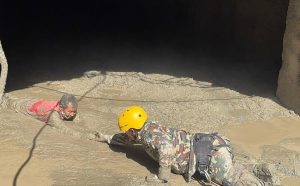
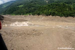
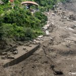
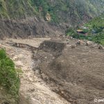
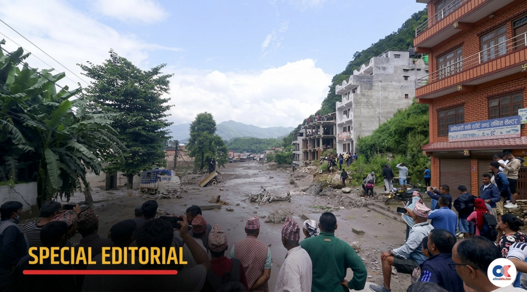
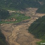
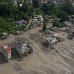
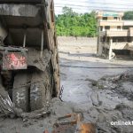
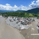
The flood destroyed roads and bridges and reduced entire settlements and markets to ruins. The full scale of the human and economic damage is still being assessed.
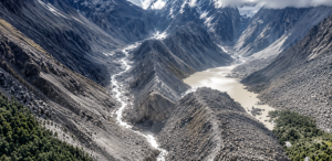
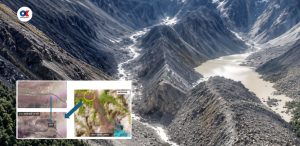
Nepali and Chinese scientists are investigating the exact cause of the flood. Nepalese officials have so far confirmed that a large section of a glacier collapsed, although further investigation is needed to determine the age and other characteristics of the ice.
Was the warning system capable of detecting the flood?
The disaster has also triggered debate over Nepal’s flood early warning system.
Innovative Engineering Services Pvt Ltd installed the flood monitoring equipment in the Bhotekoshi area for the Department of Hydrology and Meteorology.
Anup Khanal, an engineer and head of the company, estimates that the flood travelled from Rasuwagadhi to Betrabati at an average speed of 15 to 20 metres per second.
Based on an estimated flood height of around 20 metres and width of around 40 metres, he estimates the peak discharge may have been between 12,000 and 15,000 cubic metres per second.
However, there was no recorded fall in the water level before the monitoring station was damaged, Khanal said. This raises the possibility that the flood may have resulted from a landslide temporarily blocking the river before the dam suddenly burst — a phenomenon known as a landslide dam outburst flood, or LDOF.
“If the river was blocked by a landslide for some time and then suddenly breached, the flood could behave differently from a normal flood, where the water level rises gradually,” Khanal said.
In such a situation, a system that transmits data at fixed intervals may not provide enough time to issue a warning before the flood reaches its peak, he said. However, he stressed that this remains a preliminary assessment that needs to be verified through detailed hydrological and hydraulic studies.
Experts call for sensors at different heights
Khanal said the incident highlights the need to rethink the design and operation of flood warning systems in extreme conditions.
One option would be to introduce threshold-based transmission, rather than relying solely on fixed-interval data transmission.
Under such a system, sensors could continue sending data every 10 minutes during normal conditions. But if the water level begins to cross a predefined risk threshold, the sensor could immediately transmit data instead of waiting for the next scheduled transmission.
This could reduce the time needed to detect a rapidly developing flood and issue warnings.
Khanal also suggested installing backup sensors at different elevations.
Instead of placing a single sensor at one level, one sensor could monitor normal and moderate floods near the lower river level, while another could be installed 20 to 30 metres higher to detect extreme flooding.
The higher sensor would normally remain inactive. If an exceptional flood exceeded the measurement range of the lower sensor, the upper sensor could continue monitoring the rising water and provide additional data for warnings.
‘System needs a comprehensive review’
Khanal said it would be premature to simply conclude that the early warning system “failed”.
Instead, he said authorities need to examine the entire system — including sensor capacity, data transmission, warning thresholds, sensor elevation, backup systems, the flow of warning information and whether equipment can continue operating during extreme disasters.
A technical investigation should determine how long each sensor transmitted data, when communication failed, when the stations were damaged, what the actual nature of the flood was and whether the available data provided enough time to issue warnings.
“The incident shows that Nepal’s flood early warning system needs to evolve beyond simply measuring water levels,” Khanal said. “It must be capable of surviving extreme floods, transmitting data rapidly, using backup sensors and issuing immediate warnings based on risk levels.”
He also stressed the need for continuous satellite monitoring of glacial lakes considered at risk of bursting.