


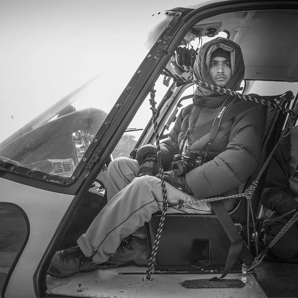
Twenty-one years ago, I photographed the Himalayas from an open helicopter door. On November 22, I will return to do it again, using those early photographs as my map.
In November 2005, I spent several hours leaning out of a helicopter with a camera, photographing the Himalayas. The cold found its way through everything. My fingers were stiff, the wind was relentless, and keeping the camera steady required intense concentration. There were no camera drones in the skies above us, no Google Earth on a phone to revisit the route, and no social media feed waiting for the pictures. There was simply the landscape, the helicopter and the task of trying not to miss a frame.
Digital cameras were becoming serious photographic tools, but I still carried Kodak film as a safety net, shooting both slides and negatives. It was a practical decision at a time when the two systems coexisted.
I photographed mountains, ridges, glaciers and valleys. At the time, my attention was on the immediate task: finding a clear view, holding the camera steady and capturing the frame. I had little reason to imagine that I would one day revisit those pictures with an entirely different question in mind.
There was little room for hesitation. If the helicopter moved away from a ridge, the view might be gone. If a cloud moved in or the light disappeared, there was no guarantee of another opportunity. You had to be ready when the landscape opened up and work with whatever the weather allowed.
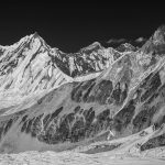
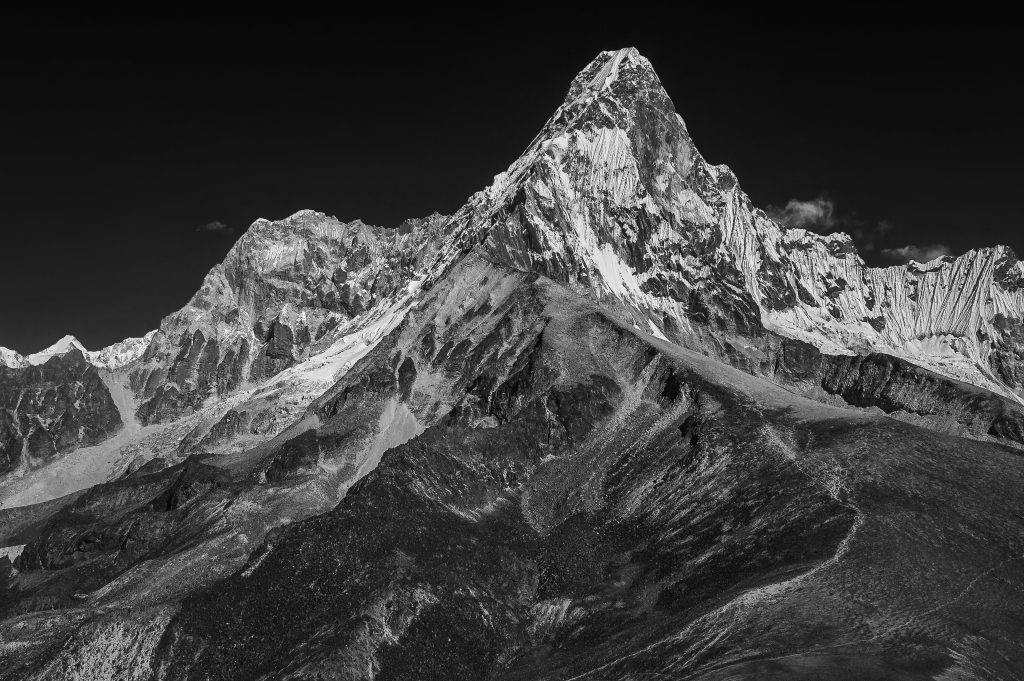
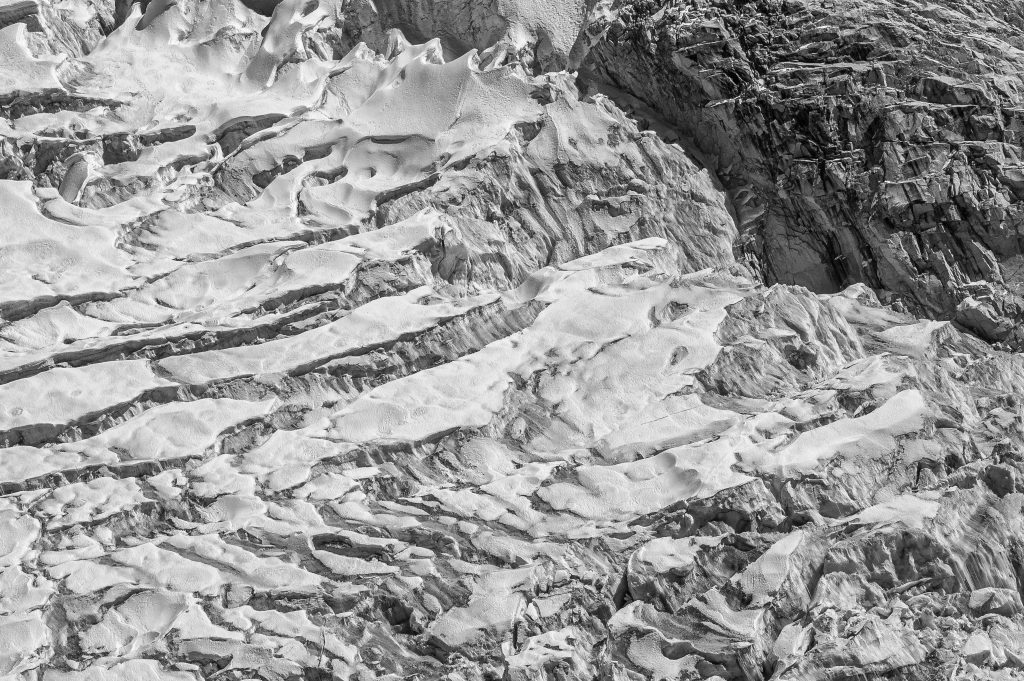
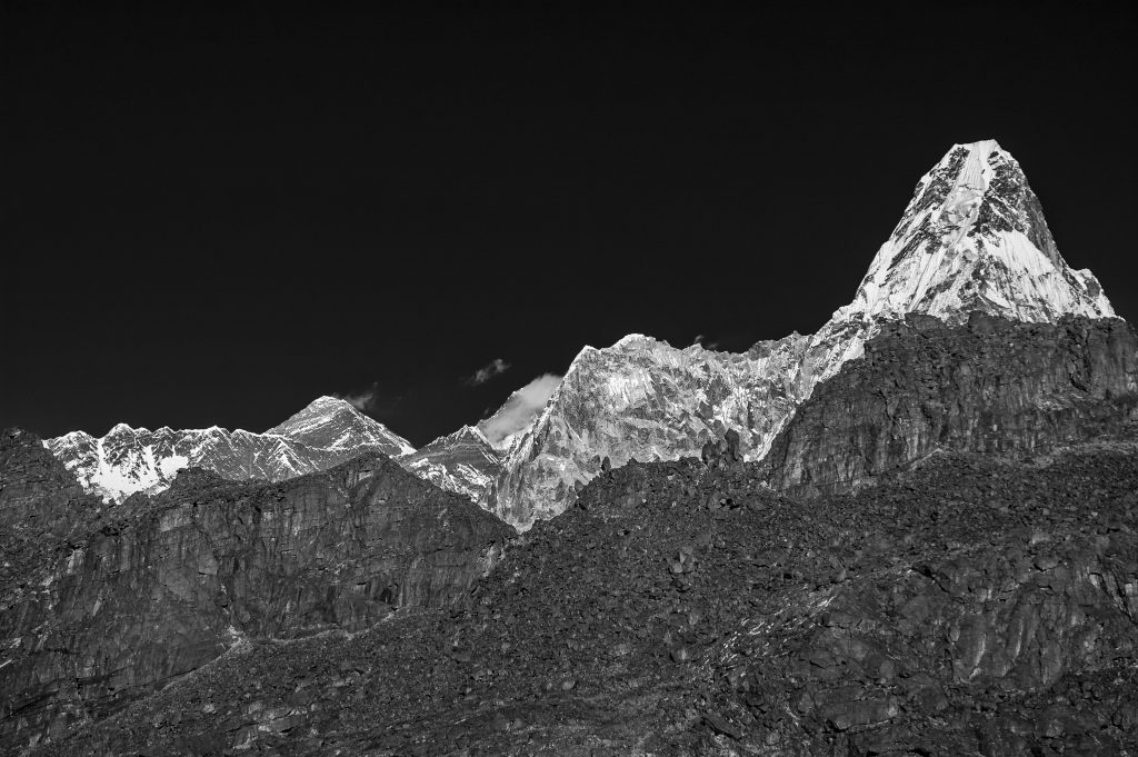
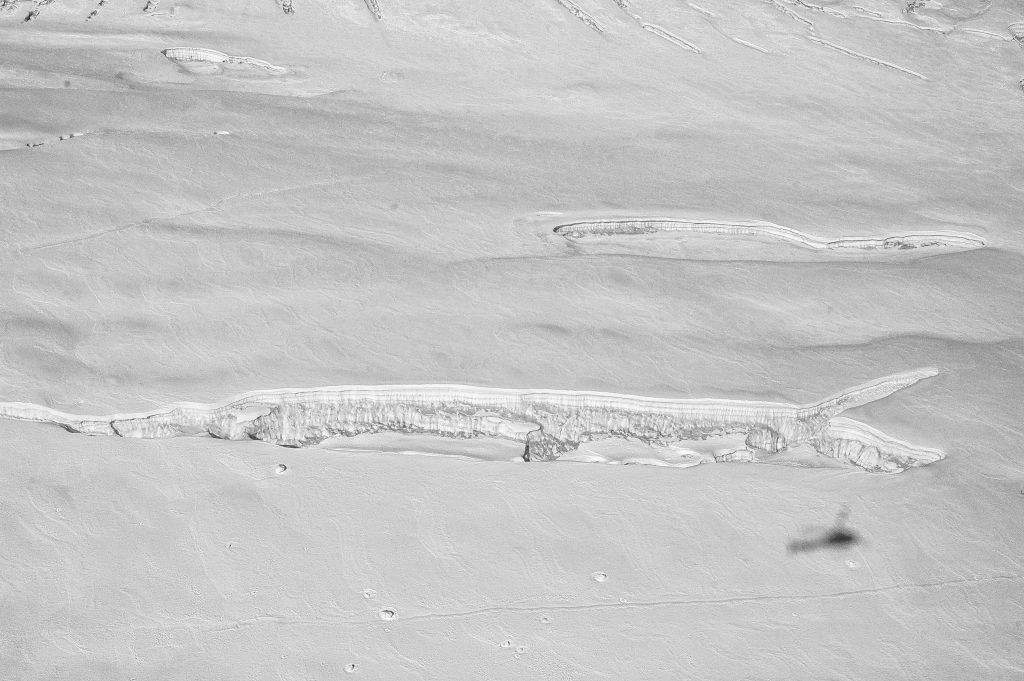
One photograph has become particularly interesting to me. Somewhere behind the familiar view of Ama Dablam, towards its eastern side, lies an enormous expanse of white ice and snow. I have a rough idea of where we were looking, but I never recorded the exact location. We had no GPS device tracking our position, and I made no note of the coordinates. The photograph survived, but its precise location did not. Finding that landscape again is now one of the things I look forward to most.
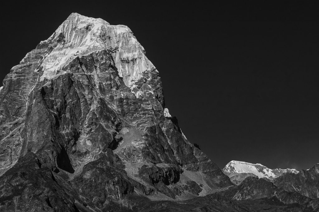
Some of those photographs were later converted to black and white. That was a deliberate choice. The familiar blue sky, white snow and warm light gave way to ridges, shadows, textures and the folds of the land. From above, places I thought I recognised could look strangely unfamiliar. It was not about making the photographs more dramatic. I was interested in what happened when colour was removed and the landscape was seen differently.
Recently, I have been revisiting those photographs, looking again at details I might have overlooked when I first made them.
I am not nostalgic for the limitations of those days. Photography has become safer, more precise and more accessible. Better autofocus, more capable sensors, image stabilisation and drones have transformed what is possible. We can now photograph landscapes from viewpoints that once required considerable effort and revisit routes on a screen before setting out.
But capturing the image is only part of the challenge. We make more images than ever, yet the information that makes them useful can easily be lost.
Today, a photograph can carry its location, date and other information without the photographer having to write everything down. But that does not mean the information will always be available when someone needs it. Files get moved, metadata gets lost, and photographs become separated from the people and places that give them meaning. Making an image and preserving a useful record are two different things.
An old photograph does not automatically become reliable evidence simply because it has survived. It records what stood in front of a camera, from one position, at one particular moment. It cannot show what lay beyond the frame, what happened before the shutter was released or what followed. Nor can it explain why a glacier changed, whether a river altered its course or what caused a settlement to grow. Even a technically excellent photograph leaves important questions unanswered.
Its value depends partly on the information that accompanies it. Where was it taken? When? From which direction and at what altitude? What lens was used? What were the season and weather conditions? Without this information, a photograph may survive for a hundred years and still be difficult to use. With it, the same image can become a valuable point of reference for someone trying to understand a place long after the photographer has left.
This becomes particularly important when comparing photographs taken years apart. Two images of the same mountain can look dramatically different because of light, season, weather, altitude or even a slight change in viewpoint. A camera positioned a little further along a ridge may produce a very different picture. What appears to be a change in the landscape may partly reflect a change in how it was photographed.
The mountains are still there, though not necessarily as they were. We are the ones who have moved.
On November 22, I will return to the Khumbu and Everest region with a team whose experience spans creative production, aviation, technical operations and expedition safety. We will combine aerial photography and filmmaking with work on the ground, using my 2005 photographs as visual references. We will look for the same ridges and viewpoints and document the landscape from both the air and the ground, as closely as circumstances allow.
There is an adventure in the undertaking, of course, and I would be lying if I said the prospect of returning to the mountains by helicopter did not excite me. The conditions will be different, the landscape may have changed, and some of the places I remember may not be easy to find. I may have photographs to guide me, but no set of coordinates to take me there.
A helicopter does not always offer the same route, altitude or angle. The weather has its own plans, and mountains are not particularly interested in cooperating with photographers.
Finding the exact position from which an image was made may prove harder than taking the photograph itself.
Still, I would rather go back and find out.
The photographs from 2005 were not made as part of a scientific survey, nor were they intended to establish a baseline. They were made by a photographer documenting a landscape as he saw it. The new photographs will not turn them into a controlled scientific study. They may reveal visible differences, raise questions and help identify what deserves closer examination. Establishing the causes of those differences will require other forms of evidence, including scientific measurements and observations collected over time.
In my earlier article, I wrote about bringing more people into the climate conversation and giving them a role in what happens next. This time, I am looking at another aspect of that responsibility: what we record, what we preserve and what we leave behind for others to understand. Photographs can be an important part of that record, provided we know what we are looking at.
We rarely think about the person who might look at our photographs fifty years from now. Will they know where a picture was taken, when and from which direction? Will they be able to identify the mountain, glacier or valley? Will they know whether it captures an unusual moment or an ordinary day? A photograph without context can outlive everyone involved in making it and still leave its most important questions unanswered.
We spend considerable effort making images look right. We should spend more effort ensuring they remain useful. That means recording their location and date, preserving original files and negatives wherever possible, and retaining the information that explains how an image was made. It may be less glamorous than taking the photograph, but it could matter considerably more in the long run.
I am not returning to prove that the Himalayas have vanished or to manufacture a dramatic before-and-after picture. The Vanishing Himalayas is a question, not a verdict. The photographs from 2005 do not provide a complete record of the mountains as they were then, and the new ones will not offer a complete record of them now. But if the images can be carefully matched, they may provide a way to examine what has changed, what has remained and what we still do not know.
Back then, I was trying to get the photographs. This time, I will be looking at them differently.
I still have that photograph of the enormous white landscape behind Ama Dablam. What I do not have is its exact location. If we find it again, I intend to make sure the next photograph comes with that information.