

Kathmandu, October 29
Cyclone Arnab, which developed in the Bay of Bengal as an extremely powerful storm, is gradually weakening. However, it is forecast to bring partial effects, including rain and snowfall, to Nepal from today until Saturday, October 31.
The Weather Forecasting Division under the Department of Hydrology and Meteorology said some places could receive heavy rain and snowfall.
According to the division, the cyclone made landfall on Wednesday morning around 8:15 along the Andhra Pradesh and Yanam coast in India. It has since moved north-northwest and continued to weaken. It was first downgraded from an “extremely severe cyclonic storm” to a “severe cyclonic storm,” and is likely to weaken further into a deep depression today.
Which areas will be affected?
Due to the influence of the deep depression, high-level clouds have begun to appear in Nepal’s sky from today. The effect is expected to intensify from tomorrow.
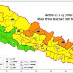
The division said that from the evening of October 29 to 31, most places in Koshi, Madhesh, Bagmati, Gandaki and Lumbini provinces are likely to receive moderate rain and snowfall, accompanied by thunder and lightning. Many places in Karnali and Sudurpaschim provinces may also see moderate rain and snowfall, along with thunder, lightning and hail.
During this period, a few places in Koshi, Madhesh, Bagmati, Gandaki and Lumbini could receive heavy rain and snowfall. One or two places in the mountain and hill areas of Karnali and Sudurpaschim may also see heavy precipitation.
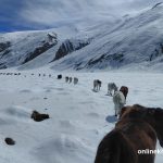
Senior meteorologist Bibhuti Pokhrel said the remnants of the cyclone are carrying air with plenty of moisture, which will interact with systems in the upper atmosphere. This, he explained, is why rain and snowfall have been forecast. He added that the high mountain areas face a risk of heavy snowfall, snowstorms and avalanches.
Caution urged, from farming to mountain tourism
In view of the possible rain and snowfall, the division has urged farmers to keep their paddy crops safe until Kartik 14. It has also advised against going trekking during this period.
Tourists have been asked not to travel to the high mountains, and those who are already there are urged to move to safer places.
Meteorologist Binu Maharjan of the division said special caution is needed because the high hills and mountains face the risk of heavy snowfall, snowstorms and avalanches.
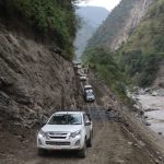
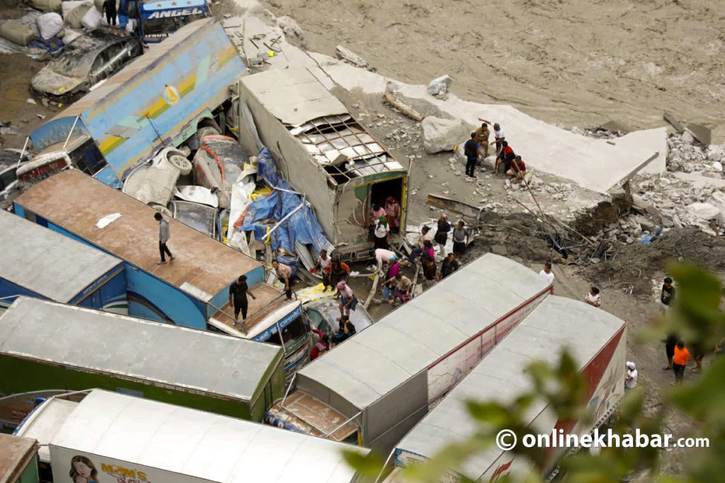
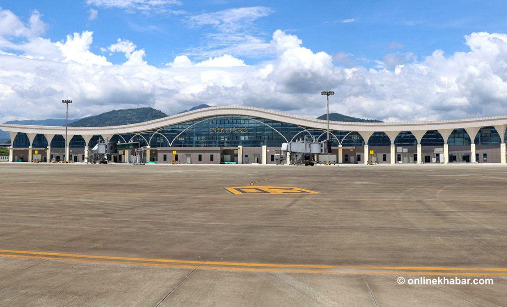
The division has also called on the public and concerned agencies to make necessary preparations. The rain and snowfall could make the weather colder, trigger landslides at risky locations and along roadsides, and disrupt road and air transport.
The division said it is closely monitoring the weather system and will issue further updates as required. It has also urged people to regularly follow its notices for official and updated weather information.